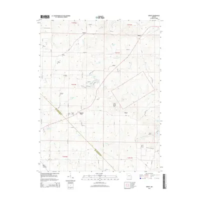
2015 Map of Sprott
USGS Topo · Published 2015About this map
Chestnut Ridge and the surrounding highlands of the Saint Francois Mountains anchor this 2015 Missouri landscape, where the border between Ste. Genevieve and St. Francois counties cuts diagonally across a network of spring-fed creeks and small upland settlements. The area is marked by a high density of family and community burial grounds, including the Doss, McGee, and Rudy cemeteries, suggesting a deep-rooted genealogical history in these hills.
Find a feature on this map
76 named features on this map. Tap any name to fly to it.
Don’t see what you’re looking for? This feature index may not catch every label — zoom into the map to look around manually.
Map Details
Editions of this 2015 Sprott Map
This is the sole edition of this map. No revisions or reprints were ever made.
Other maps of this area

1904 · Farmington
USGS Topo · 1:62,500

1906 · Farmington
USGS Topo · 1:62,500

1907 · Weingarten
USGS Topo · 1:62,500

1909 · Weingarten
USGS Topo · 1:62,500

1910 · Higdon
USGS Topo · 1:62,500

1939 · Fredericktown
USGS Topo · 1:48,000

1947 · Fredericktown
USGS Topo · 1:62,500

1949 · Rolla
USGS Topo · 1:250,000

1950 · Fredericktown
USGS Topo · 1:62,500

1953 · Rolla
USGS Topo · 1:250,000