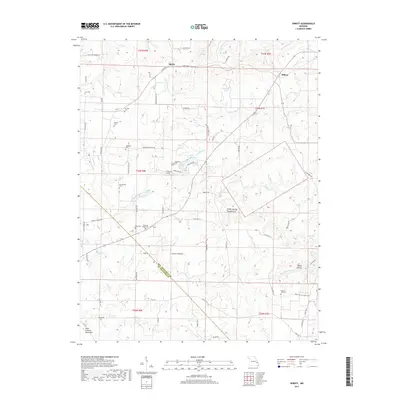
2017 Map of Sprott
USGS Topo · Published 2017About this map
Pickle Springs Double Arch stands as a prominent geological landmark within this pocket of the Ozarks, where the eastern edge of the Saint Francois Mountains meets a complex drainage network. The landscape is defined by the high, rolling terrain of Chestnut Ridge, which serves as a divide between the headwaters of Hickory Creek and River Aux Vases. The small communities of Sprott and Millers anchor the northern reaches of the quadrangle, connected by a web of local routes like Sprott Road and Genevieve Church Road. Genealogists will find a significant concentration of family and community burial sites scattered across the ridges, including Mc Clintock Cemetery, Doss Cemetery, and the Chestnut Ridge Cemetery, reflecting a long-established pattern of rural settlement and local stewardship in Ste. Genevieve County.
Find a feature on this map
84 named features on this map. Tap any name to fly to it.
Don’t see what you’re looking for? This feature index may not catch every label — zoom into the map to look around manually.
Map Details
Editions of this 2017 Sprott Map
This is the sole edition of this map. No revisions or reprints were ever made.
Other maps of this area
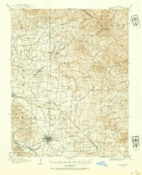
1904 · Farmington
USGS Topo · 1:62,500
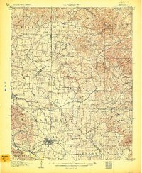
1906 · Farmington
USGS Topo · 1:62,500
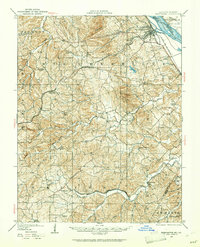
1907 · Weingarten
USGS Topo · 1:62,500
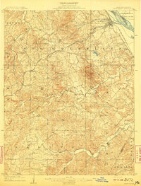
1909 · Weingarten
USGS Topo · 1:62,500
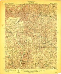
1910 · Higdon
USGS Topo · 1:62,500
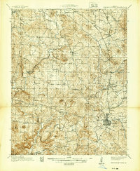
1939 · Fredericktown
USGS Topo · 1:48,000
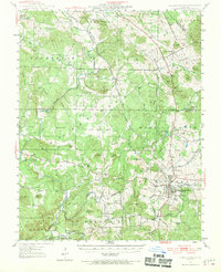
1947 · Fredericktown
USGS Topo · 1:62,500

1949 · Rolla
USGS Topo · 1:250,000
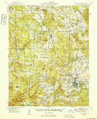
1950 · Fredericktown
USGS Topo · 1:62,500
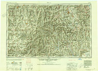
1953 · Rolla
USGS Topo · 1:250,000