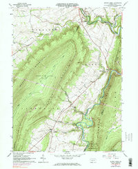
1963 Map of Spruce Creek
USGS Topo · Published 1984About this map
Etna Furnace stands near the banks of the Frankstown Branch of the Juniata River, anchoring a landscape shaped by early industry and rugged ridge-and-valley topography. In this mid-century survey, the rail lines of the Penn Central follow the winding course of the Little Juniata River past the station at Spruce Creek and the settlement at Union Furnace. The terrain is dominated by the parallel rises of Brush Mountain and Canoe Mountain, which cradle the agricultural valley floors where Sinking Run and Canoe Creek flow. Local heritage is preserved in the names of family and community landmarks like Keller Chapel, St John Cem, and Williams Cem. The map captures the intersection of heavy transport corridors and protected landscapes, including portions of the Rothrock State Forest and multiple state game lands.
Find a feature on this map
39 named features on this map. Tap any name to fly to it.
Don’t see what you’re looking for? This feature index may not catch every label — zoom into the map to look around manually.
Map Details
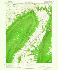
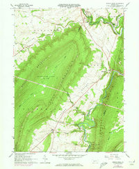
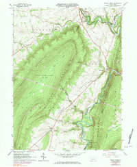
Editions of this 1963 Spruce Creek Map
4 editions found
Other maps of this area

1901 · Huntingdon
USGS Topo · 1:62,500

1902 · Hollidaysburg
USGS Topo · 1:62,500

1903 · Hollidaysburg
USGS Topo · 1:62,500

1904 · Huntingdon
USGS Topo · 1:62,500

1920 · Altoona
USGS Topo · 1:62,500

1922 · Altoona
USGS Topo · 1:62,500

1923 · Tyrone
USGS Topo · 1:62,500

1929 · Tyrone
USGS Topo · 1:48,000

1933 · Tyrone
USGS Topo · 1:62,500

1946 · Tyrone
USGS Topo · 1:62,500
Featured Places
- Frankstown Township, PA
- Spruce Creek Township, PA
- Shaffersville, Morris Township
- Tyrone Township, PA
- Catharine Township, PA