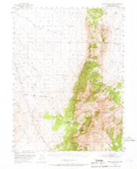
1953 Map of Spruce Mountain
USGS Topo · Published 1966About this map
Spruce Mountain dominates this high-altitude landscape of eastern Nevada, serving as a hub for mining activity and water resources during the early 1950s. The western slopes are marked by the Sprucemont (Site), where a network of tunnels and shafts like the Standard Mine and Ada H Mine reveal the area's extraction history. These workings are connected by a Pipe Line that stretches across the arid terrain toward Townsite Spring.
Find a feature on this map
25 named features on this map. Tap any name to fly to it.
Don’t see what you’re looking for? This feature index may not catch every label — zoom into the map to look around manually.
Map Details
Editions of this 1953 Spruce Mountain Map
4 editions found
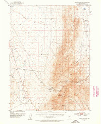
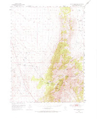
Other maps of this area

1935 · Halleck
USGS Topo · 1:125,000

1953 · Spruce Mountain
USGS Topo · 1:62,500

1953 · Spruce Mountain 4
USGS Topo · 1:62,500

1955 · Elko
USGS Topo · 1:250,000

1958 · Elko
USGS Topo · 1:250,000

1962 · Elko
USGS Topo · 1:250,000

1965 · Elko
USGS Topo · 1:250,000

1968 · Independence Valley SW
USGS Topo · 1:24,000

1968 · Snow Water Lake
USGS Topo · 1:24,000

1968 · Ventosa
USGS Topo · 1:24,000