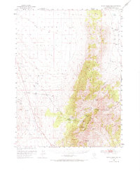
1953 Map of Spruce Mountain
USGS Topo · Published 1973About this map
Spruce Mountain Ridge dominates this mid-century landscape in Elko County, serving as a high-altitude spine between the broad basins of Clover Valley and Independence Valley. This area reflects a significant era of Great Basin mineral exploration and high-desert ranching, evidenced by the cluster of workings concentrated around the peak of Spruce Mountain. The townsite of Sprucemont is recorded here alongside numerous active and dormant claims, including the Black Forest Mine, Monarch Mine, and Ada H Mine.
Find a feature on this map
28 named features on this map. Tap any name to fly to it.
Don’t see what you’re looking for? This feature index may not catch every label — zoom into the map to look around manually.
Map Details
Editions of this 1953 Spruce Mountain Map
4 editions found
Other maps of this area

1935 · Halleck
USGS Topo · 1:125,000

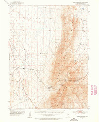
1953 · Spruce Mountain
USGS Topo · 1:62,500

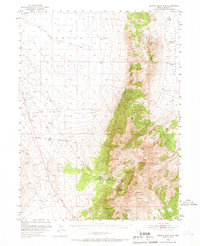
1953 · Spruce Mountain 4
USGS Topo · 1:62,500

1955 · Elko
USGS Topo · 1:250,000

1958 · Elko
USGS Topo · 1:250,000

1962 · Elko
USGS Topo · 1:250,000

1965 · Elko
USGS Topo · 1:250,000

1968 · Independence Valley SW
USGS Topo · 1:24,000

1968 · Snow Water Lake
USGS Topo · 1:24,000

1968 · Ventosa
USGS Topo · 1:24,000