
1945 Map of Spruce Pine
USGS Topo · Published 1945About this map
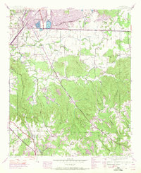
Spruce Pine serves as a southern anchor in this mid-1940s landscape, where the Southern railroad line cuts through terrain shaped by both industry and rural community life. The northern sections are defined by large-scale Strip Mine operations and industrial features like Sloss Lake and the Russellville Res. These extraction sites contrast with a network of traditional social centers, including Sloss Sch, Hurricane Sch, and Enterprise Sch.
Find a feature on this map
45 named features on this map. Tap any name to fly to it.
Don’t see what you’re looking for? This feature index may not catch every label — zoom into the map to look around manually.
Map Details
Editions of this 1945 Spruce Pine Map
3 editions found
Other maps of this area

1924 · Tuscumbia
USGS Topo · 1:48,000

1925 · Barton
USGS Topo · 1:62,500

1926 · Tuscumbia
USGS Topo · 1:62,500

1926 · Barton
USGS Topo · 1:48,000

1929 · Barton
USGS Topo · 1:62,500

1936 · Russellville
USGS Topo · 1:24,000

1936 · Newburg
USGS Topo · 1:24,000

1936 · Kinlock Spring
USGS Topo · 1:24,000

1936 · Frankfort
USGS Topo · 1:24,000

1936 · Isbell
USGS Topo · 1:24,000