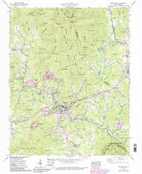
1960 Map of Spruce Pine
USGS Topo · Published 1990About this map
Spruce Pine sits at the heart of this North Carolina highland survey, where the North Toe River and the Clinchfield RR carve paths through the Blue Ridge. The landscape is defined by its deep-seated mineral industry, with numerous operations like the Chestnut Flats Mine, Deer Park Mine, and International Mine dotting the terrain. This concentration of mining activity around Minpro and the river valley reflects the region's historic role as a world-class source of industrial minerals and gemstones.
Find a feature on this map
113 named features on this map. Tap any name to fly to it.
Don’t see what you’re looking for? This feature index may not catch every label — zoom into the map to look around manually.
Map Details
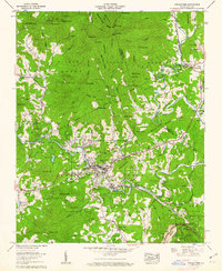
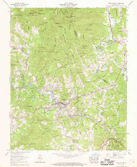
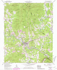
Editions of this 1960 Spruce Pine Map
5 editions found

Other maps of this area

1891 · Roan Mountain
USGS Topo · 1:125,000

1893 · Cranberry
USGS Topo · 1:125,000

1894 · Roan Mountain
USGS Topo · 1:125,000

1895 · Cranberry
USGS Topo · 1:125,000

1899 · Cranberry
USGS Topo · 1:125,000

1900 · Mount Mitchell
USGS Topo · 1:125,000

1902 · Cranberry
USGS Topo · 1:125,000

1902 · Mount Mitchell
USGS Topo · 1:125,000

1904 · Roan Mountain
USGS Topo · 1:125,000

1905 · Morganton
USGS Topo · 1:125,000