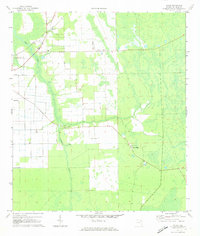
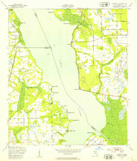
1970 Map of Spuds
USGS Topo · Published 1973About this map
Florida East Coast rail lines cut through the agricultural landscape of St. Johns County, following the western edge of Deep Creek. This 1970s survey captures the rural settlement of Spuds and the smaller community of Byrd, where local life centered around structures like Mt Olive Ch and Emanuel Ch. The map illustrates a transitional landscape where organized drainage and farm roads like Miller Rd and Leonard Rd meet the natural wetlands surrounding Sixteenmile Creek. To the east, the terrain shifts toward Gopher Ridge, marked by a Lookout Tower and multiple clearings for a Landing Strip. The presence of several landing strips alongside the railroad suggests a landscape deeply tied to both timber and industrial-scale agriculture, providing a detailed record of the region's infrastructure before late-century development.
Find a feature on this map
12 named features on this map. Tap any name to fly to it.
Don’t see what you’re looking for? This feature index may not catch every label — zoom into the map to look around manually.
Map Details
Editions of this 1970 Spuds Map
4 editions found
Other maps of this area

1912 · Palatka
USGS Topo · 1:48,000

1915 · Palatka
USGS Topo · 1:62,500

1937 · Elkton
USGS Topo · 1:24,000

1937 · Crescent Beach
USGS Topo · 1:24,000

1937 · Dinner Island
USGS Topo · 1:48,000

1943 · St. Augustine
USGS Topo · 1:62,500

1943 · Dinner Island
USGS Topo · 1:62,500

1944 · Dinner Island
USGS Topo · 1:62,500

1947 · Bostwick
USGS Topo · 1:50,000
1949 · Riverdale
USGS Topo · 1:24,000