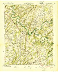
1940 Map of Spurgeon
USGS Topo · Published 1940About this map
The confluence of the South Fork Holston River and the Watauga River anchors this pre-war survey of the Tennessee borderlands. This landscape is defined by the winding river bends like Deerrick Bend and Hicks Bend, where the terrain transitions from the heights of Clinchfield Ridge down to established river crossings such as Shipley Ferry and the Smith Shoal Bridge. The rural economy of 1939 is visible through features like the Boone Creek Mill and the Clinchfield RR cutting through the hills via the Free Hill Tunnel.
Find a feature on this map
65 named features on this map. Tap any name to fly to it.
Don’t see what you’re looking for? This feature index may not catch every label — zoom into the map to look around manually.
Map Details
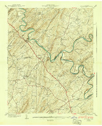
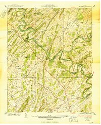
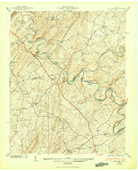
Editions of this 1940 Spurgeon Map
4 editions found
Other maps of this area

1891 · Roan Mountain
USGS Topo · 1:125,000

1892 · Greeneville
USGS Topo · 1:125,000

1894 · Roan Mountain
USGS Topo · 1:125,000

1894 · Estillville
USGS Topo · 1:125,000

1896 · Greeneville
USGS Topo · 1:125,000

1897 · Bristol
USGS Topo · 1:125,000

1902 · Bristol
USGS Topo · 1:125,000

1904 · Roan Mountain
USGS Topo · 1:125,000

1904 · Greeneville
USGS Topo · 1:125,000

1935 · Sullivan Gardens
USGS Topo · 1:24,000