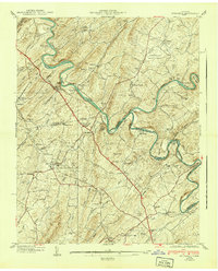
1940 Map of Spurgeon
USGS Topo · Published 1940About this map
The South Fork Holston River and Watauga River converge in this detailed pre-war study, revealing a landscape defined by sharp river bends and the industrial influence of the Clinchfield railroad. The map records a rural infrastructure of ferries and fords, such as Shipley Ferry and Hall Ford, which served as vital crossing points before modern bridging. Local commerce and community life are anchored by landmarks like the Boone Creek Mill and the Ladies Academy, while the emergence of aviation is marked by Tri-City Airport and McKellar Field in the northeast. Small settlements like Spurgeon, Fordtown, and Gray dot the terrain, which is also characterized by distinctive natural features like Buzzard Cliff and the Free Hill Tunnel cutting through the ridges. This survey captures the transition from a river-dependent agricultural economy to one increasingly connected by rail and air.
Find a feature on this map
69 named features on this map. Tap any name to fly to it.
Don’t see what you’re looking for? This feature index may not catch every label — zoom into the map to look around manually.
Map Details
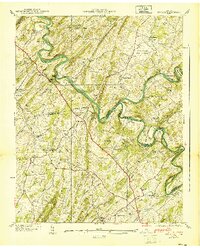
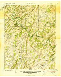
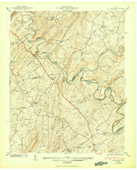
Editions of this 1940 Spurgeon Map
4 editions found
Other maps of this area

1891 · Roan Mountain
USGS Topo · 1:125,000

1892 · Greeneville
USGS Topo · 1:125,000

1894 · Roan Mountain
USGS Topo · 1:125,000

1894 · Estillville
USGS Topo · 1:125,000

1896 · Greeneville
USGS Topo · 1:125,000

1897 · Bristol
USGS Topo · 1:125,000

1902 · Bristol
USGS Topo · 1:125,000

1904 · Roan Mountain
USGS Topo · 1:125,000

1904 · Greeneville
USGS Topo · 1:125,000

1935 · Sullivan Gardens
USGS Topo · 1:24,000