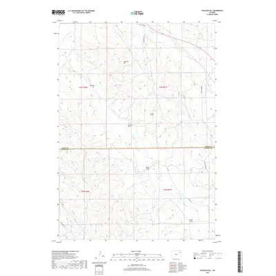
2017 Map of Spyglass Hill
USGS Topo · Published 2017About this map
Spy Glass Hill rises as a prominent landmark in this section of northeast Wyoming, situated just north of the Crook County and Weston County border. The landscape is defined by a network of seasonal watercourses and drainage features, including the Belle Fourche River and Buffalo Creek. Rural access is maintained through a series of named ranch roads such as Rush Creek Rd, Warbonnet Rd, and Four Horse Rd, which navigate the complex topography of draws and coulees.
Find a feature on this map
22 named features on this map. Tap any name to fly to it.
Don’t see what you’re looking for? This feature index may not catch every label — zoom into the map to look around manually.
Map Details
Editions of this 2017 Spyglass Hill Map
This is the sole edition of this map. No revisions or reprints were ever made.
Other maps of this area
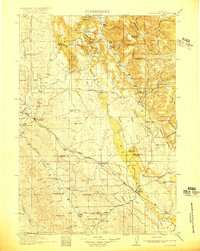
1918 · Moorcroft
USGS Topo · 1:125,000
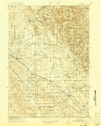
1918 · Moorcroft
USGS Topo · 1:62,500

1954 · Gillette
USGS Topo · 1:250,000

1955 · Gillette
USGS Topo · 1:250,000
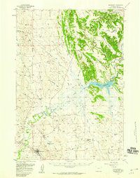
1957 · Moorcroft
USGS Topo · 1:62,500

1958 · Gillette
USGS Topo · 1:250,000

1962 · Gillette
USGS Topo · 1:250,000
1971 · Whitetail Creek SE
USGS Topo · 1:24,000
1971 · Rozet SE
USGS Topo · 1:24,000
1971 · Whitetail Creek NE
USGS Topo · 1:24,000