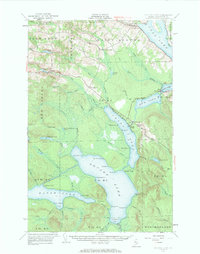
1953 Map of Square Lake
USGS Topo · Published 1963About this map
Square Lake and the connected waters of the Fish River chain dominate this northern Maine landscape during the mid-twentieth century. The area reflects a deeply rooted Acadian influence, with the settlement of St Agatha on the shores of Long Lake and small communities like Daigle and Ouellette situated along the northern roads. The land use pattern is defined by narrow timber tracks and small logging or sporting outposts such as Michaud Camp, Austin Camp, and Gorfinkle Camp.
Find a feature on this map
62 named features on this map. Tap any name to fly to it.
Don’t see what you’re looking for? This feature index may not catch every label — zoom into the map to look around manually.
Map Details
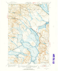
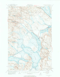
Editions of this 1953 Square Lake Map
4 editions found

Other maps of this area

1927 · Stockholm
USGS Topo · 1:48,000

1927 · Square Lake
USGS Topo · 1:48,000

1928 · Eagle Lake
USGS Topo · 1:48,000

1928 · Winterville
USGS Topo · 1:48,000

1929 · Portage
USGS Topo · 1:62,500

1929 · Caribou
USGS Topo · 1:48,000

1931 · Square Lake
USGS Topo · 1:62,500

1931 · Eagle Lake
USGS Topo · 1:62,500

1931 · Portage
USGS Topo · 1:62,500

1931 · Stockholm
USGS Topo · 1:62,500