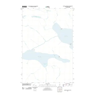
2011 Map of Square Lake West
USGS Topo · Published 2011About this map
Square Lake and Eagle Lake dominate this North Woods landscape in northernmost Maine, separated by a narrow land bridge defined by The Ledge. The 2011 survey reveals an environment shaped by water, where numerous tributaries like California Brook, Halfway Brook, and Alec Brook feed the larger basins. Settlement is sparse, with Michaud Camp standing as a rare point of named human habitation along the western shore of Eagle Lake, suggesting the area's continued use for seasonal camps and recreational fishing. Shoreline features such as Abraham Point, Limestone Point, and Three Brooks Cove provide a granular view of the geography that has likely remained largely unchanged for generations of Aroostook County residents and sportsmen.
Find a feature on this map
18 named features on this map. Tap any name to fly to it.
Don’t see what you’re looking for? This feature index may not catch every label — zoom into the map to look around manually.
Map Details
Editions of this 2011 Square Lake West Map
This is the sole edition of this map. No revisions or reprints were ever made.
Other maps of this area

1927 · Square Lake
USGS Topo · 1:48,000

1928 · Eagle Lake
USGS Topo · 1:48,000

1928 · Winterville
USGS Topo · 1:48,000

1929 · Portage
USGS Topo · 1:62,500

1931 · Square Lake
USGS Topo · 1:62,500

1931 · Eagle Lake
USGS Topo · 1:62,500

1931 · Portage
USGS Topo · 1:62,500

1931 · Winterville
USGS Topo · 1:62,500

1953 · Square Lake
USGS Topo · 1:62,500

1953 · Portage
USGS Topo · 1:62,500