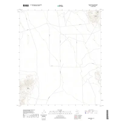
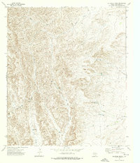
2019 Map of Square Mesa
USGS Topo · Published 2019About this map
The Delaware Mountains and Baylor Mountains anchor the desert geography of Culberson County in this 2019 survey. The landscape is defined by the high, flat-topped Square Mesa in the northeast corner, rising above a vast network of desert floor tracks. Transportation across this arid basin relies on established routes such as Whitehead Rd and Wingo Rd, which intersect near the center of the quadrangle. The presence of Jay Capp Spr suggests the critical, sparse water sources that have historically dictated movement and land use in this part of West Texas. This map provides a contemporary record of these enduring landforms and the remote road network connecting them.
Find a feature on this map
8 named features on this map. Tap any name to fly to it.
Don’t see what you’re looking for? This feature index may not catch every label — zoom into the map to look around manually.
Map Details
Editions of this 2019 Square Mesa Map
This is the sole edition of this map. No revisions or reprints were ever made.
Other maps of this area
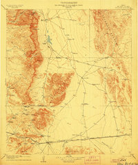
1906 · Van Horn
USGS Topo · 1:125,000

1954 · Van Horn
USGS Topo · 1:250,000

1958 · Van Horn
USGS Topo · 1:250,000
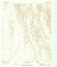
1964 · Goat Canyon
USGS Topo · 1:24,000
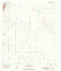
1964 · Watson Ranch
USGS Topo · 1:24,000
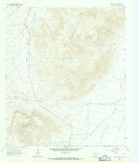
1964 · Nutt Ranch
USGS Topo · 1:24,000
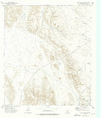
1972 · Seven Heart Gap
USGS Topo · 1:24,000
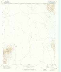
1972 · Square Mesa
USGS Topo · 1:24,000
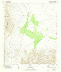
1973 · Victorio Peak
USGS Topo · 1:24,000
1973 · Delaware Ranch
USGS Topo · 1:24,000