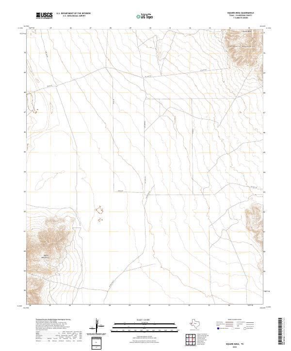
2022 Map of Square Mesa
USGS Topo · Published 2022About this map
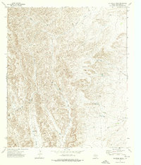
The Delaware Mountains rise in the northeast corner of this remote West Texas landscape, anchored by the prominent Square Mesa. This 2022 survey captures a high-desert environment defined by elevation and distance, where the terrain transitions from the base of the Baylor Mountains in the southwest across a broad, arid basin. This is a working ranch landscape where water is the primary driver of infrastructure, evidenced by the long route of Jay Capp Spr. The road network is strictly utilitarian, consisting of named tracks like Wingo Rd, Two Flat Rd, and Whitehead Rd that serve the scattered livestock operations across the flats. The absence of traditional settlements highlights the isolation of this region in Culberson County, where human presence is measured by miles of fencing and these sparse desert roads.
Find a feature on this map
8 named features on this map. Tap any name to fly to it.
Don’t see what you’re looking for? This feature index may not catch every label — zoom into the map to look around manually.
Map Details
Editions of this 2022 Square Mesa Map
This is the sole edition of this map. No revisions or reprints were ever made.
Other maps of this area

1906 · Van Horn
USGS Topo · 1:125,000

1954 · Van Horn
USGS Topo · 1:250,000

1958 · Van Horn
USGS Topo · 1:250,000
1964 · Goat Canyon
USGS Topo · 1:24,000

1964 · Watson Ranch
USGS Topo · 1:24,000
1964 · Nutt Ranch
USGS Topo · 1:24,000

1972 · Seven Heart Gap
USGS Topo · 1:24,000

1972 · Square Mesa
USGS Topo · 1:24,000
1973 · Victorio Peak
USGS Topo · 1:24,000
1973 · Delaware Ranch
USGS Topo · 1:24,000