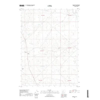
2017 Map of Square Top
USGS Topo · Published 2017About this map
Square Top dominates the high desert landscape of this portion of Sublette County, where water management is the defining characteristic of human activity. The map reveals a complex network of artificial water storage systems, including Desert Reservoir Number 1, Lost Reservoir, and the geographically clustered Square Top Reservoir Number 6. These features, along with Antelope Spring, highlight the essential infrastructure required to sustain life and livestock in this arid environment.
Find a feature on this map
24 named features on this map. Tap any name to fly to it.
Don’t see what you’re looking for? This feature index may not catch every label — zoom into the map to look around manually.
Map Details
Editions of this 2017 Square Top Map
This is the sole edition of this map. No revisions or reprints were ever made.
Other maps of this area

1955 · Lander
USGS Topo · 1:250,000

1958 · Lander
USGS Topo · 1:250,000

1961 · Lander
USGS Topo · 1:250,000
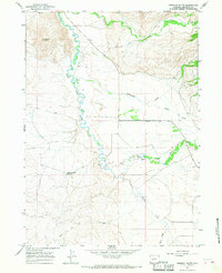
1964 · Fremont Butte
USGS Topo · 1:24,000
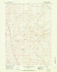
1964 · Square Top
USGS Topo · 1:24,000
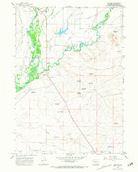
1964 · Boulder
USGS Topo · 1:24,000
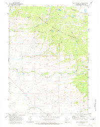
1969 · Pocket Creek Lake
USGS Topo · 1:24,000
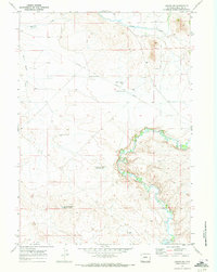
1969 · Leckie SW
USGS Topo · 1:24,000
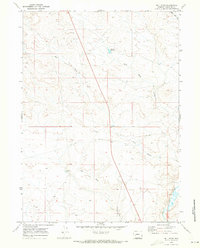
1969 · Bull Draw
USGS Topo · 1:24,000
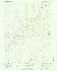
1969 · Tabernacle Butte
USGS Topo · 1:24,000