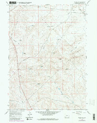
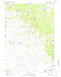
1964 Map of Square Top
USGS Topo · Published 1980About this map
The Oregon Trail and Emigrant Trail cross this high desert landscape, marking the historic path of westward migration through Sublette Co.. In 1964, the area remains a stark environment defined by ranching and resource management, evidenced by the extensive Square Top Drift Fence and numerous artificial catchments like Tibbals Reservoir and Desert Res No 6. The terrain is deeply grooved by seasonal drainages such as Mud Hole Draw and Water Hole Draw, which flow toward Muddy Creek.
Find a feature on this map
28 named features on this map. Tap any name to fly to it.
Don’t see what you’re looking for? This feature index may not catch every label — zoom into the map to look around manually.
Map Details
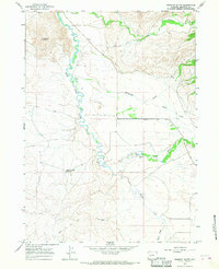
Editions of this 1964 Square Top Map
2 editions found
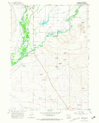
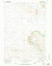
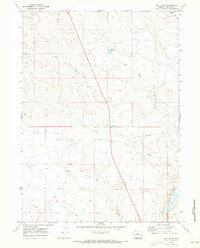
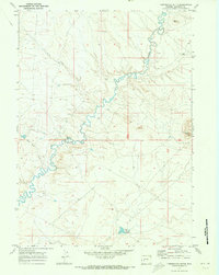
Other maps of this area

1955 · Lander
USGS Topo · 1:250,000

1958 · Lander
USGS Topo · 1:250,000

1961 · Lander
USGS Topo · 1:250,000
1964 · Fremont Butte
USGS Topo · 1:24,000
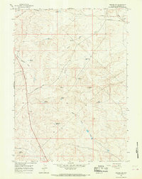
1964 · Square Top
USGS Topo · 1:24,000
1964 · Boulder
USGS Topo · 1:24,000
1969 · Pocket Creek Lake
USGS Topo · 1:24,000
1969 · Leckie SW
USGS Topo · 1:24,000
1969 · Bull Draw
USGS Topo · 1:24,000
1969 · Tabernacle Butte
USGS Topo · 1:24,000