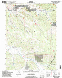
1994 Map of Squaw Valley Peak
USGS Topo · Published 1998About this map
Plumas National Forest dominates this mid-1990s terrain, revealing a landscape defined by seasonal grazing and rugged water drainages. The map records several specific historical livestock and timber-related sites, including the Stone Dairy Cabin and Ridenour Barn in the northeast, while Jenkins Sheep Camp and Camp 13 appear further south. These named camps and structures reflect a long history of high-country ranching and land use in the northern Sierra Nevada.
Find a feature on this map
29 named features on this map. Tap any name to fly to it.
Don’t see what you’re looking for? This feature index may not catch every label — zoom into the map to look around manually.
Map Details
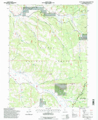
Editions of this 1994 Squaw Valley Peak Map
2 editions found
Other maps of this area

1886 · Honey Lake
USGS Topo · 1:250,000

1890 · Sierraville
USGS Topo · 1:125,000

1891 · Downieville
USGS Topo · 1:125,000

1891 · Honey Lake
USGS Topo · 1:250,000

1892 · Sierraville
USGS Topo · 1:125,000

1893 · Honey Lake
USGS Topo · 1:250,000

1893 · Downieville
USGS Topo · 1:125,000

1894 · Sierraville
USGS Topo · 1:125,000

1895 · Downieville
USGS Topo · 1:125,000

1896 · Downieville
USGS Topo · 1:125,000