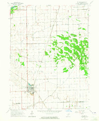
1964 Map of St. Anne
USGS Topo · Published 1965About this map
St Anne and its surrounding agricultural landscape are defined by a convergence of rail lines and industrial activity in the mid-1960s. The New York Central and Chicago And Eastern Illinois railroads intersect here, supporting local industry such as the Claypits and the small settlement of Brickkiln south of the main town. The terrain transitions from the open fields of Aroma and Ganeer townships toward the dense woodlots and complex drainage patterns of Pembroke to the east.
Find a feature on this map
27 named features on this map. Tap any name to fly to it.
Don’t see what you’re looking for? This feature index may not catch every label — zoom into the map to look around manually.
Map Details
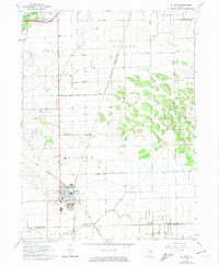
Editions of this 1964 St. Anne Map
2 editions found
Other maps of this area

1922 · Momence
USGS Topo · 1:62,500

1922 · Kankakee
USGS Topo · 1:62,500

1924 · Momence
USGS Topo · 1:62,500

1924 · Kankakee
USGS Topo · 1:62,500

1935 · Watseka
USGS Topo · 1:48,000

1939 · Watseka
USGS Topo · 1:62,500

1944 · Gilman
USGS Topo · 1:62,500

1946 · Gilman
USGS Topo · 1:62,500

1953 · Chicago
USGS Topo · 1:250,000

1953 · Danville
USGS Topo · 1:250,000