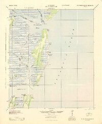
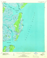
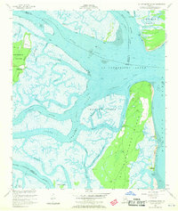
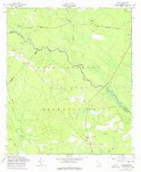
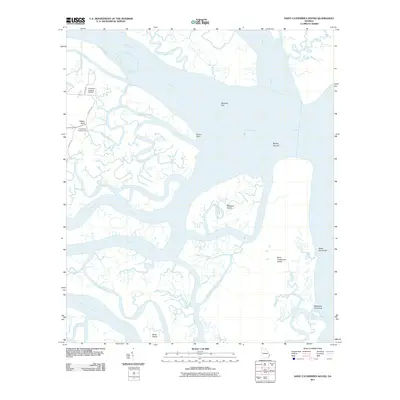
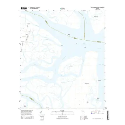
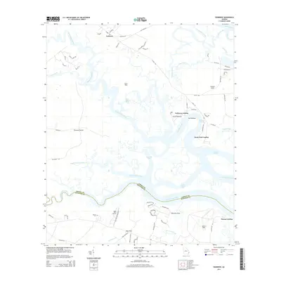
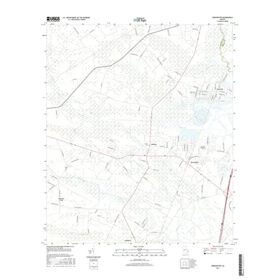
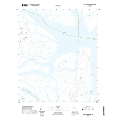
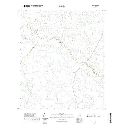
1945 Map of St. Catherine's Island
USGS Topo · Published 1945About this map
St Catherines Island dominates this coastal landscape, defined by its intricate network of tidal waterways and maritime forests during the mid-1940s. The Army Map Service compiled this data from aerial photography and earlier 1912 surveys, revealing the isolated geography of the Georgia Sea Islands. Specific structural landmarks provide rare genealogical and architectural detail, such as Bakers House N Chimney near Harris and Kollocks House West Gable on the island's interior. The map captures a moment before modern development, where Art Wells and hammocks like McQueens Hammock dot the terrain. To the south, Black Beard Island features a Quarantine Flagstaff and Hospital N Chimney, suggesting its specialized maritime use. The complex hydrology of St Catherines Sound and the South Newport River illustrates the transition from the Atlantic Ocean to the mainland marshes of Liberty and Mcintosh counties.
Find a feature on this map
68 named features on this map. Tap any name to fly to it.
Don’t see what you’re looking for? This feature index may not catch every label — zoom into the map to look around manually.
Map Details
Editions of this 1945 St. Catherine's Island Map
This is the sole edition of this map. No revisions or reprints were ever made.
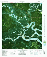
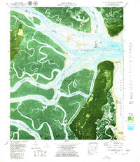
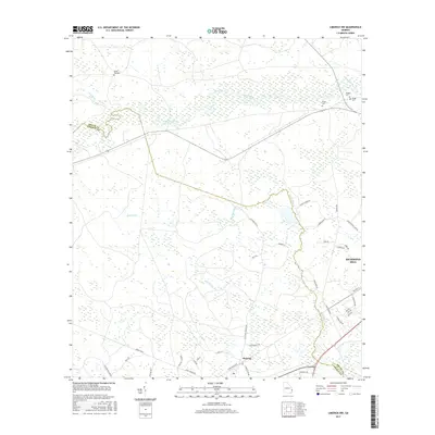
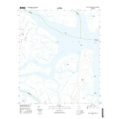
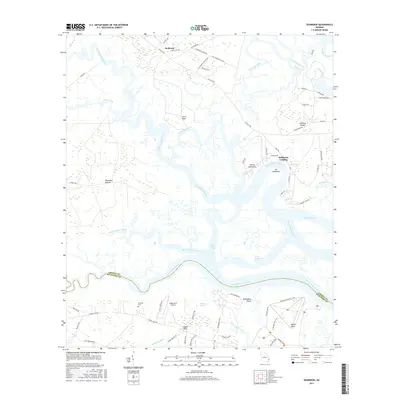
Historical Maps of Chatham County Through Time
51 maps found

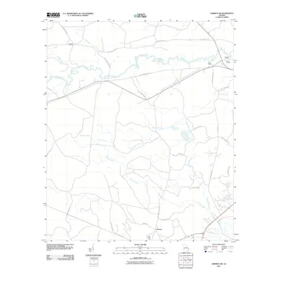
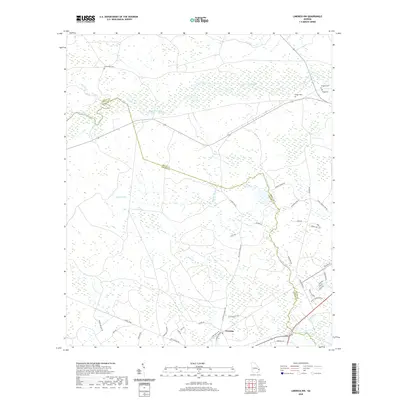
1920 Limerick
Liberty County, GA

1928 St Catherines Island
Liberty County, GA
1943 St Catherines Island
Liberty County, GA

1944 Limerick
Liberty County, GA
1945 St. Catherine's Island
Liberty County, GA
1948 Limerick
Liberty County, GA

1950 Limerick
Liberty County, GA
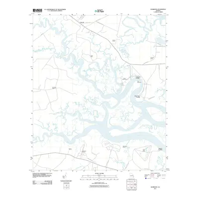
1954 Seabrook
Liberty County, GA
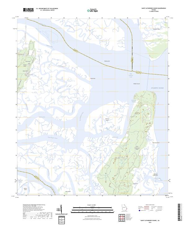
1954 St Catherines Sound
Liberty County, GA

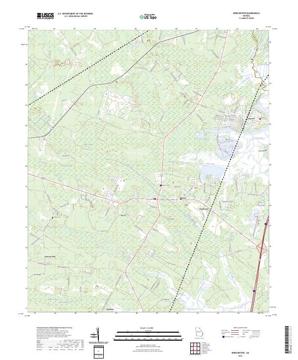
1958 Dorchester
Liberty County, GA
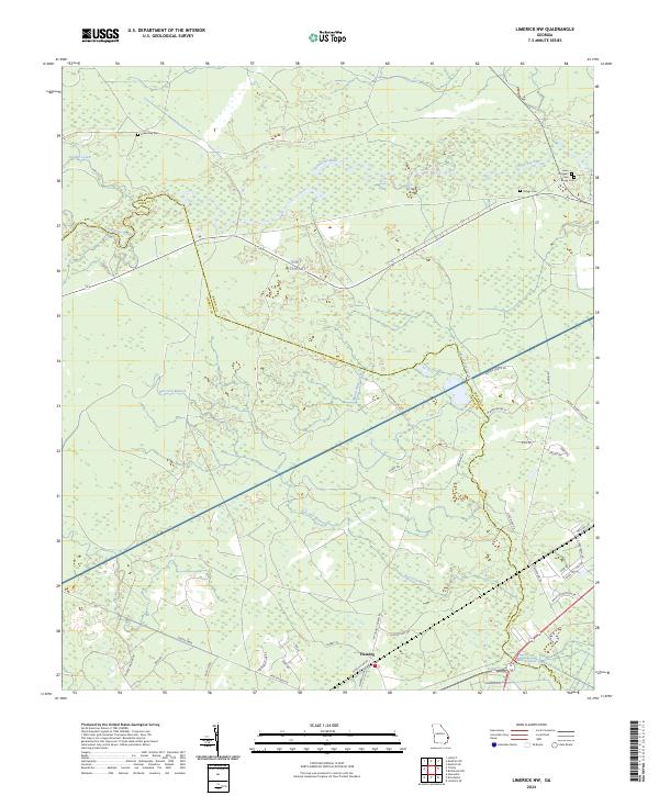
1958 Limerick NW
Liberty County, GA
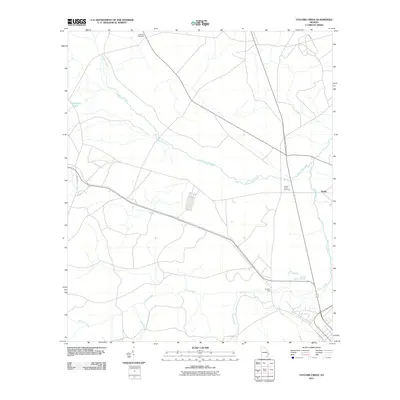
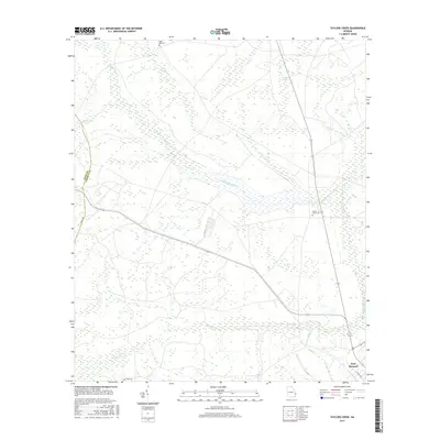
1958 Taylors Creek
Liberty County, GA
1958 Trinity
Liberty County, GA
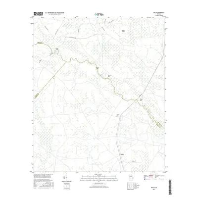
1958 Willie
Liberty County, GA
1979 Seabrook
Liberty County, GA
1979 St Catherines Sound
Liberty County, GA
2011 Dorchester
Liberty County, GA
2011 Limerick NW
Liberty County, GA
2011 Saint Catherines Sound
Liberty County, GA
2011 Seabrook
Liberty County, GA
2011 Taylors Creek
Liberty County, GA

2011 Trinity
Liberty County, GA
2011 Willie
Liberty County, GA
2014 Dorchester
Liberty County, GA
2014 Limerick NW
Liberty County, GA
2014 Saint Catherines Sound
Liberty County, GA
2014 Seabrook
Liberty County, GA
2014 Taylors Creek
Liberty County, GA
2014 Trinity
Liberty County, GA
2014 Willie
Liberty County, GA
2017 Dorchester
Liberty County, GA
2017 Limerick NW
Liberty County, GA
2017 Saint Catherines Sound
Liberty County, GA
2017 Seabrook
Liberty County, GA
2017 Taylors Creek
Liberty County, GA

2017 Trinity
Liberty County, GA
2017 Willie
Liberty County, GA
2020 Dorchester
Liberty County, GA
2020 Limerick NW
Liberty County, GA
2020 Saint Catherines Sound
Liberty County, GA
2020 Seabrook
Liberty County, GA
2020 Taylors Creek
Liberty County, GA
2020 Trinity
Liberty County, GA
2020 Willie
Liberty County, GA
2024 Dorchester
Liberty County, GA
2024 Limerick NW
Liberty County, GA
2024 Saint Catherines Sound
Liberty County, GA
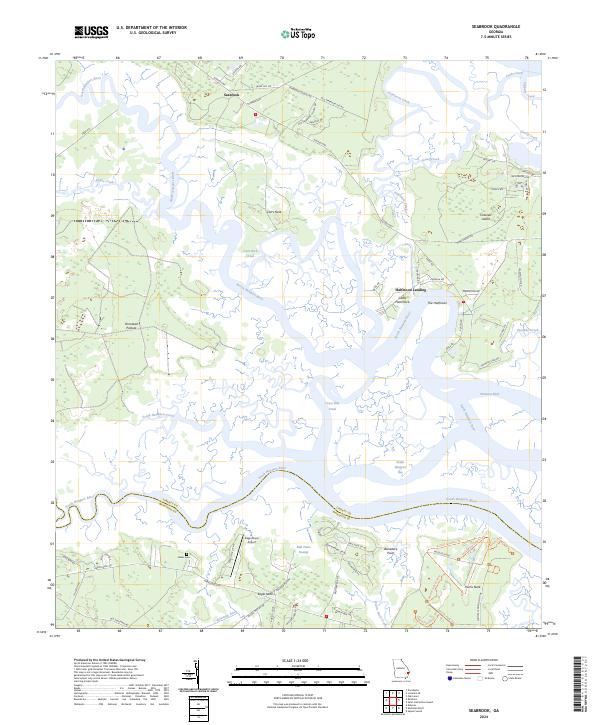
2024 Seabrook
Liberty County, GA
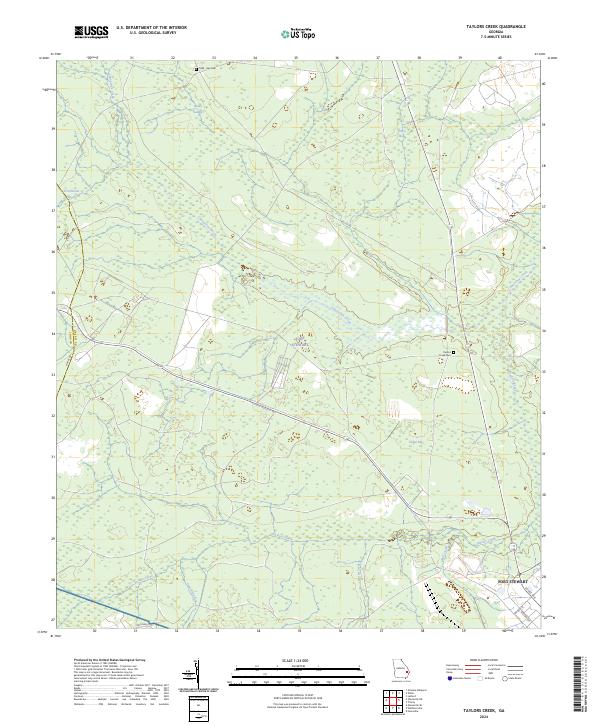
2024 Taylors Creek
Liberty County, GA
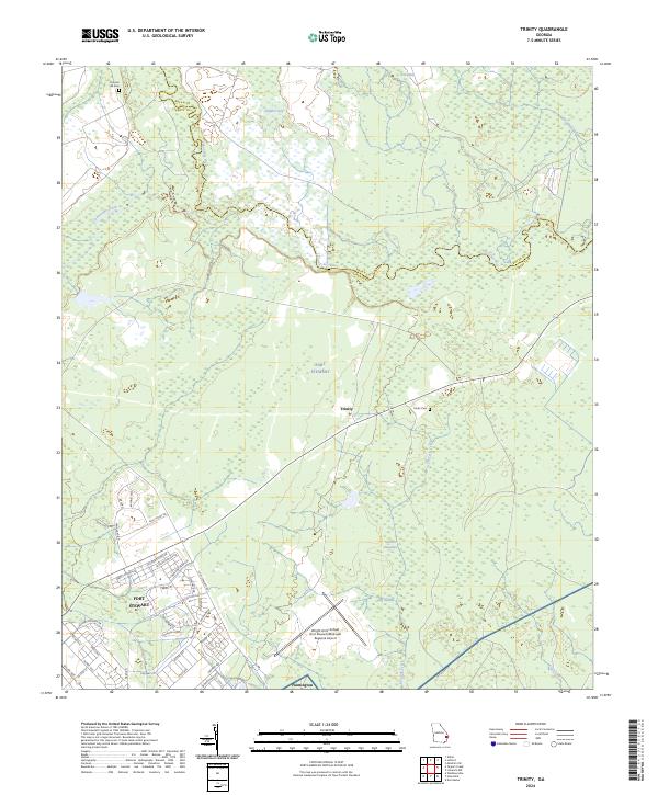
2024 Trinity
Liberty County, GA
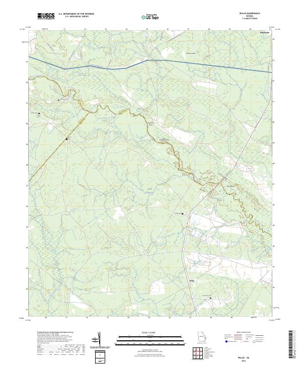
2024 Willie
Liberty County, GA