
1917 Map of St. Charles
USGS Topo · Published 1917About this map
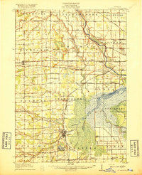
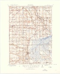
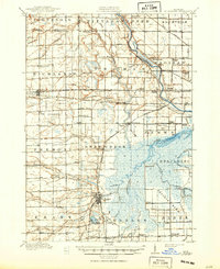
St Charles serves as the industrial and civic heart of this 1917 topographic study, where the No 3 Mine and the intersection of the Michigan Central RR and Pere Marquette RR indicate a landscape defined by coal and transit. The southern reaches of the map highlight the massive drainage and agricultural efforts of the Prairie Farm, supported by an intricate system of canals and a dedicated Pumping Station. These features illustrate the early 20th-century transformation of Michigan's wetlands into productive farmland and industrial centers.
Find a feature on this map
107 named features on this map. Tap any name to fly to it.
Don’t see what you’re looking for? This feature index may not catch every label — zoom into the map to look around manually.
Map Details
Editions of this 1917 St. Charles Map
4 editions found
Other maps of this area

1916 · Bay City
USGS Topo · 1:62,500

1917 · Chesaning
USGS Topo · 1:62,500

1918 · Elsie
USGS Topo · 1:62,500

1919 · Bay City
USGS Topo · 1:62,500

1919 · Saginaw
USGS Topo · 1:62,500

1919 · Burt
USGS Topo · 1:62,500

1921 · Burt
USGS Topo · 1:62,500

1934 · Sanford
USGS Topo · 1:62,500

1934 · Merrill
USGS Topo · 1:62,500

1936 · Sanford
USGS Topo · 1:62,500