Loading...
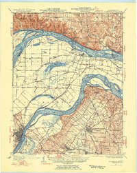
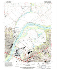
Loading map...1927 Map of St. Charles
USGS Topo · Published 1955About this map
The confluence of the Mississippi River and the Missouri River dominates this 1920s landscape, illustrating the intricate relationship between early aviation, religious institutions, and flood-prone bottomlands. Significant infrastructure like Lambert Airport and Smart Airfield reflects the region's developing role in mid-century transport, while the St Stanislaus Seminary stands as a prominent landmark near Florissant.
Find a feature on this map
84 named features on this map. Tap any name to fly to it.
Don’t see what you’re looking for? This feature index may not catch every label — zoom into the map to look around manually.
Map Details
Date Portrayed1927
Date Published1955
PublisherU.S. Geological Survey
Map TypeTopographic
Scale1:62,500
Physical Dimensions17 x 21.3 inches
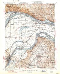
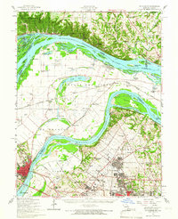
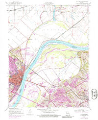
Editions of this 1927 St. Charles Map
2 editions found

Historical Maps of Saint Charles Through Time
5 maps found
Featured Locations
Source Details
SourceU.S. Geological Survey
CopyrightPublic Domain