
1947 Map of St. Clair
USGS Topo · Published 1950About this map
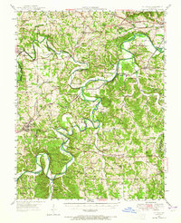
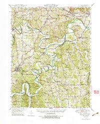
St Louis San Francisco and Missouri Pacific railroad lines converge in this portion of Franklin County, defining the industrial and transit corridor between Union and Pacific. The landscape is dominated by the winding paths of the Meramec River and Bourbeuse River, which carve through the terrain to create distinctive features like Piney Bluff. This post-war survey highlights a transition in land use, from the traditional extraction seen at the Virginia Mines (Abandoned) to the agricultural research at Purina Farm and conservation efforts at the Henry Shaw Arboretum. Dozens of rural institutions, such as Indian Prairie Sch and Bethlehem Ch, are documented here, providing a detailed record of the social infrastructure supporting small settlements like Lonedell, Moselle, and Luebbering before significant modern development altered the rural character of the area.
Find a feature on this map
82 named features on this map. Tap any name to fly to it.
Don’t see what you’re looking for? This feature index may not catch every label — zoom into the map to look around manually.
Map Details
Editions of this 1947 St. Clair Map
3 editions found
Other maps of this area

1890 · Hermann
USGS Topo · 1:125,000

1901 · De Soto
USGS Topo · 1:125,000

1903 · O'Fallon
USGS Topo · 1:125,000

1903 · Sullivan
USGS Topo · 1:125,000

1934 · Meramec State Park
USGS Topo · 1:24,000

1937 · Pacific
USGS Topo · 1:24,000

1937 · Fletcher
USGS Topo · 1:24,000

1937 · Meramec State Park
USGS Topo · 1:24,000

1938 · Cedar Hill
USGS Topo · 1:24,000

1938 · Fletcher
USGS Topo · 1:24,000