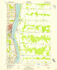
1952 Map of St. Clair
USGS Topo · Published 1954About this map
The St Clair River serves as the international boundary and central artery for this mid-century survey, dividing St Clair, Michigan, from the Ontario settlements of Mooretown and Courtright. The Michigan side exhibits a dense network of local schools and landmarks, including the Hathaway Sch, Red Brick Sch, and the St Clair River Country Club. These institutions are connected by a grid of named rural roads such as Puttygut Road and Yankee Road, reflecting a well-established riverfront community.
Find a feature on this map
47 named features on this map. Tap any name to fly to it.
Don’t see what you’re looking for? This feature index may not catch every label — zoom into the map to look around manually.
Map Details
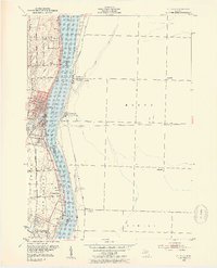
Editions of this 1952 St. Clair Map
2 editions found
Other maps of this area

1912 · Port Huron
USGS Topo · 1:62,500

1914 · Algonac
USGS Topo · 1:62,500

1928 · Hicky
USGS Topo · 1:62,500

1929 · Port Huron
USGS Topo · 1:62,500

1936 · St. Clair
USGS Topo · 1:31,680

1936 · Rattle Run
USGS Topo · 1:31,680

1939 · Port Huron
USGS Topo · 1:24,000

1939 · St. Clair
USGS Topo · 1:24,000

1939 · Smiths Creek
USGS Topo · 1:24,000

1939 · Marine City
USGS Topo · 1:24,000