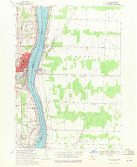
1968 Map of St. Clair
USGS Topo · Published 1971About this map
The St Clair River serves as the central artery for this international border region, separating the industrial and residential corridors of St Clair, Michigan, from the petroleum-rich landscapes of Ontario. In late 1960s Michigan, the city is characterized by established institutions like St Marys Church and the River District Hospital, with settlement patterns following the riverbank and arterial routes like Remer Road. Across the water in the townships of Moore and Sombra, the landscape is dominated by extractive industry, marked by numerous Oil Wells and Gas Wells that dot the countryside between Mooretown and Courtright. Transportation infrastructure is prominent on both shores, including the Chesapeake and Ohio railroad and the Detroit and Port Huron Belt Line, illustrating the heavy industrial and transit-oriented nature of this maritime boundary.
Find a feature on this map
53 named features on this map. Tap any name to fly to it.
Don’t see what you’re looking for? This feature index may not catch every label — zoom into the map to look around manually.
Map Details
Editions of this 1968 St. Clair Map
2 editions found
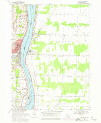
Other maps of this area

1912 · Port Huron
USGS Topo · 1:62,500

1914 · Algonac
USGS Topo · 1:62,500

1928 · Hicky
USGS Topo · 1:62,500

1929 · Port Huron
USGS Topo · 1:62,500

1936 · St. Clair
USGS Topo · 1:31,680

1936 · Rattle Run
USGS Topo · 1:31,680

1939 · Port Huron
USGS Topo · 1:24,000

1939 · St. Clair
USGS Topo · 1:24,000

1939 · Smiths Creek
USGS Topo · 1:24,000

1939 · Marine City
USGS Topo · 1:24,000