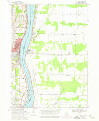
1968 Map of St. Clair
USGS Topo · Published 1974About this map
The St Clair River serves as the dominant spine of this international border region, separating the industrial and residential developments of St Clair in Michigan from the rural expanses of Moore and Sombra townships in Ontario. The maritime and industrial character of the waterway is evident through features like the Stag Island St Clair River range lights, the Canadian Customs office at Courtright, and various shoreline facilities including a Sewage Disposal plant and Substation.
Find a feature on this map
52 named features on this map. Tap any name to fly to it.
Don’t see what you’re looking for? This feature index may not catch every label — zoom into the map to look around manually.
Map Details
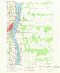
Editions of this 1968 St. Clair Map
2 editions found
Other maps of this area

1912 · Port Huron
USGS Topo · 1:62,500

1914 · Algonac
USGS Topo · 1:62,500

1928 · Hicky
USGS Topo · 1:62,500

1929 · Port Huron
USGS Topo · 1:62,500

1936 · St. Clair
USGS Topo · 1:31,680

1936 · Rattle Run
USGS Topo · 1:31,680

1939 · Port Huron
USGS Topo · 1:24,000

1939 · St. Clair
USGS Topo · 1:24,000

1939 · Smiths Creek
USGS Topo · 1:24,000

1939 · Marine City
USGS Topo · 1:24,000