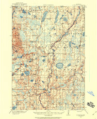
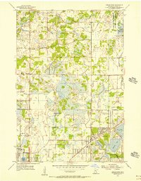
1916 Map of St. Francis
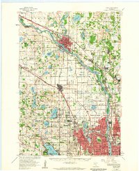
USGS Topo · Published 1960About this map
The Rum River meanders through the heart of this landscape, its winding course defining the transition from the sandy flats to the glaciated hills of the Saint Francis area during the early twentieth century. This survey, completed in 1916, reveals a rural network of small agricultural settlements and one-room schoolhouses like the Breezy Point School and Walker School. To the east, the Great Northern railroad provides a vital industrial link, passing through Bethel and near the community of Cedar. The numerous lakes, such as Lake George and Blue Lake, are interspersed with sprawling marshlands and small family-named landmarks like Mitchell Corners. The map provides a detailed view of the township boundaries for Oak Grove, Burns, and Stanford, documenting the early civic structure of the Isanti and Anoka county line before the modern suburban expansion of the Twin Cities reached this far north.
Find a feature on this map
68 named features on this map. Tap any name to fly to it.
Don’t see what you’re looking for? This feature index may not catch every label — zoom into the map to look around manually.
Map Details
Editions of this 1916 St. Francis Map
3 editions found
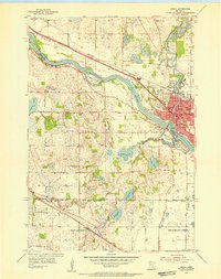
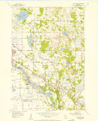
Other maps of this area

1902 · White Bear
USGS Topo · 1:62,500

1902 · Anoka
USGS Topo · 1:62,500

1909 · Rockford
USGS Topo · 1:62,500
1919 · St. Francis
USGS Topo · 1:62,500

1953 · Stillwater
USGS Topo · 1:250,000
1955 · Circle Pines
USGS Topo · 1:24,000
1955 · Anoka
USGS Topo · 1:24,000
1955 · Coon Rapids
USGS Topo · 1:24,000
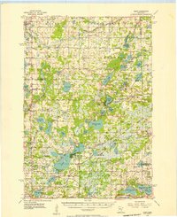
1955 · Isanti
USGS Topo · 1:62,500
1955 · Anoka
USGS Topo · 1:62,500