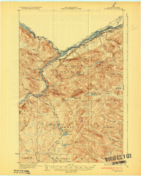
1933 Map of St Francis
USGS Topo · Published 1933About this map
The confluence of the St John River and the St Francis River forms the international boundary with Canada in this 1930s depiction of northernmost Maine. Settlement is tightly concentrated along the southern riverbanks, where the Bangor and Aroostook railroad connects isolated communities like St Francis and St John. Away from the river, the landscape transitions into a vast timberland of unnamed ridges and interconnected water bodies, including Glazier Lake, Hunnewell Lake, and a chain of ponds simply labeled First, Second, and Third Lake.
Find a feature on this map
71 named features on this map. Tap any name to fly to it.
Don’t see what you’re looking for? This feature index may not catch every label — zoom into the map to look around manually.
Map Details
Editions of this 1933 St Francis Map
3 editions found

Other maps of this area

1928 · Eagle Lake
USGS Topo · 1:48,000

1928 · Winterville
USGS Topo · 1:48,000

1930 · Allagash
USGS Topo · 1:48,000

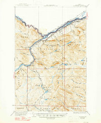
1930 · St Francis
USGS Topo · 1:48,000

1931 · Fish River Lake
USGS Topo · 1:48,000

1931 · Eagle Lake
USGS Topo · 1:62,500

1931 · Winterville
USGS Topo · 1:62,500

1932 · Fort Kent
USGS Topo · 1:48,000

1932 · Allagash Falls
USGS Topo · 1:48,000

1933 · Allagash
USGS Topo · 1:62,500