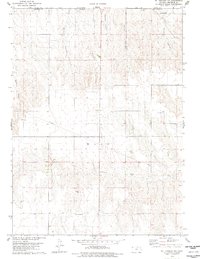
1978 Map of St Francis NW
USGS Topo · Published 1978About this map
Wano township defines this agricultural landscape along the state border, where the High Plains are dissected by a series of deep drainage channels. Waterways like Hackberry Creek and the long incisions of McCann Canyon and Sand Canyon reveal a terrain shaped by erosion, contrasted with the precise lines of a modern pipeline and local section roads. This 1978 survey highlights the enduring markers of the homesteading era, including the Hope Valley Cem and Emanuel Cem, which serve as primary anchors for genealogical research in this corner of the state. The presence of a Gravel Pit and the network of fence and field lines noted by the USGS provide a clear view of the land's utility in the late 1970s, as ranching and farming operations navigated the steep breaks of Carroll Canyon and Devils Canyon.
Find a feature on this map
13 named features on this map. Tap any name to fly to it.
Don’t see what you’re looking for? This feature index may not catch every label — zoom into the map to look around manually.
Map Details
Editions of this 1978 St Francis NW Map
This is the sole edition of this map. No revisions or reprints were ever made.
Other maps of this area

1942 · St. Francis
USGS Topo · 1:62,500

1943 · St. Francis
USGS Topo · 1:62,500

1951 · St Francis
USGS Topo · 1:62,500

1954 · Limon
USGS Topo · 1:250,000

1954 · Sterling
USGS Topo · 1:250,000

1954 · McCook
USGS Topo · 1:250,000

1954 · Goodland
USGS Topo · 1:250,000

1956 · Goodland
USGS Topo · 1:250,000

1957 · McCook
USGS Topo · 1:250,000

1957 · Limon
USGS Topo · 1:250,000