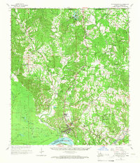
1965 Map of St. Francisville
USGS Topo · Published 1966About this map
St Francisville and the landing at Hardwood anchor this mid-1960s survey of the river bluffs in West Feliciana Parish. The landscape is defined by the sharp transition from the Tunica Hills and Tunica Ridge down to the low-lying Tunica Swamp and Mississippi River. Cultural landmarks of the era include Audubon Memorial State Park and the Marydale Scout Camp, reflecting the region's recreational and preservation interests. The map preserves the locations of numerous country churches and schools that served these rural communities, such as Dawson Sch, Afton Villa Ch, and the Union Bethel Ch. Inland, the economy is marked by scattered Gravel Pits and the Illinois Central rail line, while many older routes are preserved as Old Railroad Grades, tracing the evolution of timber and transport in the deep South.
Find a feature on this map
89 named features on this map. Tap any name to fly to it.
Don’t see what you’re looking for? This feature index may not catch every label — zoom into the map to look around manually.
Map Details
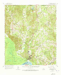
Editions of this 1965 St. Francisville Map
2 editions found
Other maps of this area

1906 · Bayou Sara
USGS Topo · 1:125,000

1936 · Woodville
USGS Topo · 1:62,500

1939 · St. Francisville
USGS Topo · 1:62,500

1939 · Zachary
USGS Topo · 1:62,500

1939 · Artonish
USGS Topo · 1:62,500

1939 · Fordoche
USGS Topo · 1:62,500

1941 · Lost Creek
USGS Topo · 1:31,680

1941 · Batchelor
USGS Topo · 1:62,500

1945 · Jackson
USGS Topo · 1:31,680

1945 · Lost Creek
USGS Topo · 1:31,680