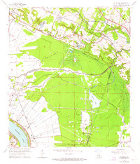
1963 Map of St. Gabriel
USGS Topo · Published 1964About this map
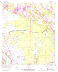
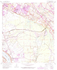
The Mississippi River defines the western edge of this landscape at the junction of Iberville, East Baton Rouge, and Ascension Parishes. In the early 1960s, the region was characterized by a transition from riverfront settlements to industrial and resource extraction sites, notably the Burtville Oil Field and the St Gabriel Gas and Oil Field. Communities such as St Gabriel, Sunshine, and Kleinpeter are established alongside a complex drainage network featuring Bayou Manchac and the expansive Spanish Lake.
Find a feature on this map
42 named features on this map. Tap any name to fly to it.
Don’t see what you’re looking for? This feature index may not catch every label — zoom into the map to look around manually.
Map Details
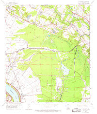
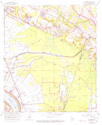
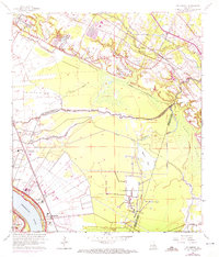
Editions of this 1963 St. Gabriel Map
6 editions found
Other maps of this area

1892 · Donaldsonville
USGS Topo · 1:62,500

1908 · Baton Rouge
USGS Topo · 1:62,500

1934 · Denham Springs
USGS Topo · 1:62,500

1935 · Gonzales
USGS Topo · 1:31,680

1936 · White Castle
USGS Topo · 1:62,500

1939 · Denham Springs
USGS Topo · 1:62,500

1939 · Baton Rouge
USGS Topo · 1:62,500

1939 · Donaldsonville
USGS Topo · 1:62,500

1953 · Baton Rouge West
USGS Topo · 1:24,000

1953 · Plaquemine
USGS Topo · 1:24,000