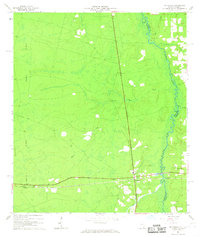
1966 Map of St George
USGS Topo · Published 1967About this map
St George serves as the central hub of this South Georgia landscape, situated just above the winding St Marys River at the Georgia Florida state line. The Southern railroad provides a vital link through the territory, passing by the small settlement of Clarking and a prominent Lookout Tower. The topography is dominated by the north-south elevation of Trail Ridge, a significant geological feature that influences the drainage of numerous local waterways including Boone Creek, Deep Creek, and Mims Creek. Local history is preserved in the landscape through sites like the St George Cemetery, Conner-Green Cem, and the Boone Creek Ch. An Old Railroad Grade in the west suggests the evolution of local timber or transit routes that once connected these Charlton County communities.
Find a feature on this map
18 named features on this map. Tap any name to fly to it.
Don’t see what you’re looking for? This feature index may not catch every label — zoom into the map to look around manually.
Map Details
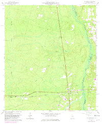
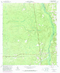
Editions of this 1966 St George Map
3 editions found
Other maps of this area

1917 · Cambon
USGS Topo · 1:62,500

1917 · Macclenny
USGS Topo · 1:62,500

1917 · Hilliard
USGS Topo · 1:62,500

1918 · Moniac
USGS Topo · 1:62,500

1918 · Cambon
USGS Topo · 1:62,500

1918 · Macclenny
USGS Topo · 1:62,500

1919 · Hilliard
USGS Topo · 1:62,500

1942 · Moniac
USGS Topo · 1:62,500

1948 · Jacksonville
USGS Topo · 1:250,000

1954 · Valdosta
USGS Topo · 1:250,000