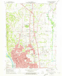
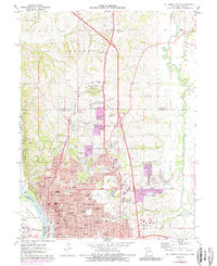
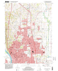
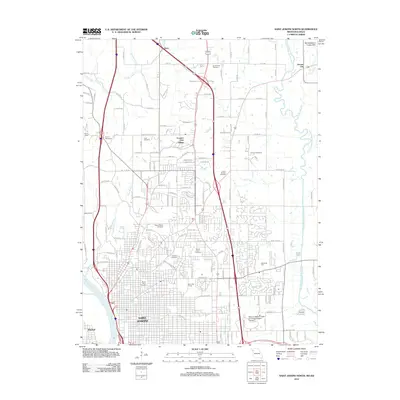
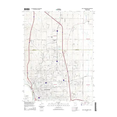
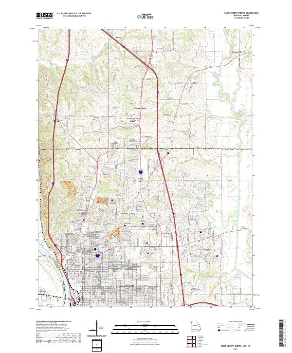
1971 Map of St. Joseph North
USGS Topo · Published 1973About this map
The city of St Joseph serves as the dominant anchor of this 1970s landscape, positioned where the Missouri River bluffs transition into the rolling uplands of Buchanan County. The map details a dense urban and suburban fabric, characterized by an extensive network of educational and religious institutions such as Christian Brothers High Sch, Missouri Western College, and the Immaculate Conception Sch. The presence of several historic burial grounds, including the large Mt Mora Cem and B'nai Sholem Cem, provides valuable data for genealogical research within the city's older quarters.
Find a feature on this map
115 named features on this map. Tap any name to fly to it.
Don’t see what you’re looking for? This feature index may not catch every label — zoom into the map to look around manually.
Map Details
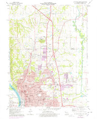
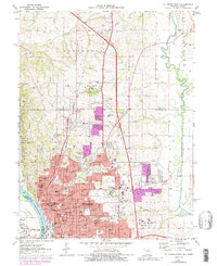
Editions of this 1971 St. Joseph North Map
4 editions found
Historical Maps of Saint Joseph Through Time
22 maps found
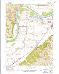
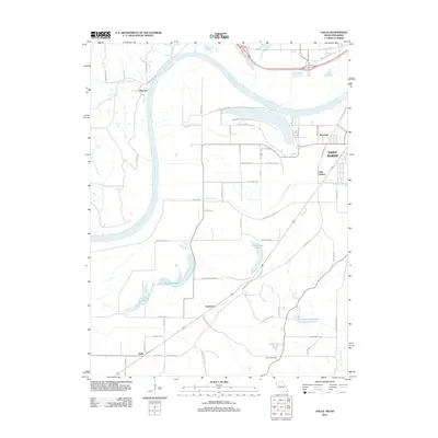
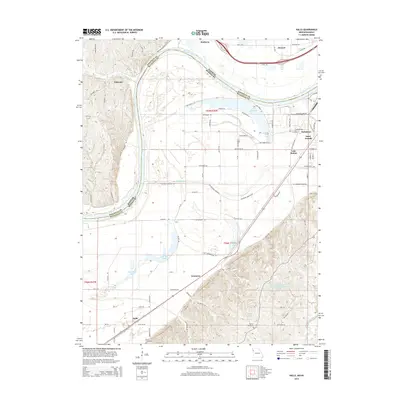
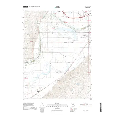
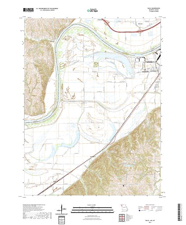
1961 Halls
Buchanan County, MO
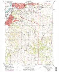
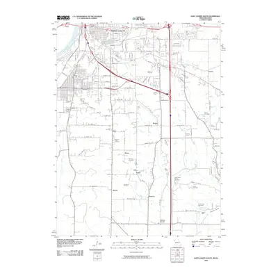
1971 St. Joseph North
Buchanan County, MO
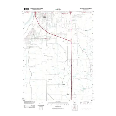
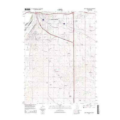
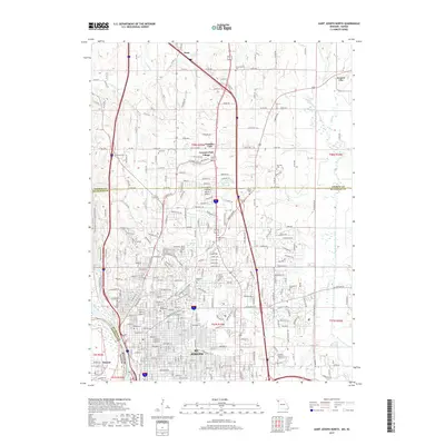
1971 St. Joseph South
Buchanan County, MO
1980 St. Joseph North
Buchanan County, MO
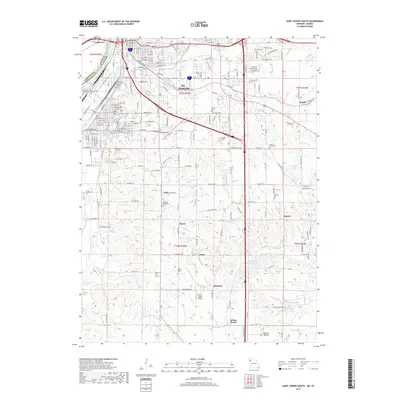
1980 St. Joseph South
Buchanan County, MO
1986 Saint Joseph
Buchanan County, MO
1997 St. Joseph North
Buchanan County, MO
2009 Halls
Buchanan County, MO
2009 Saint Joseph North
Buchanan County, MO
2009 Saint Joseph South
Buchanan County, MO
2012 Halls
Buchanan County, MO
2012 Saint Joseph North
Buchanan County, MO
2012 Saint Joseph South
Buchanan County, MO
2014 Halls
Buchanan County, MO
2015 Saint Joseph North
Buchanan County, MO
2015 Saint Joseph South
Buchanan County, MO
2017 Halls
Buchanan County, MO
2017 Saint Joseph North
Buchanan County, MO
2017 Saint Joseph South
Buchanan County, MO
2021 Halls
Buchanan County, MO
2021 Saint Joseph North
Buchanan County, MO
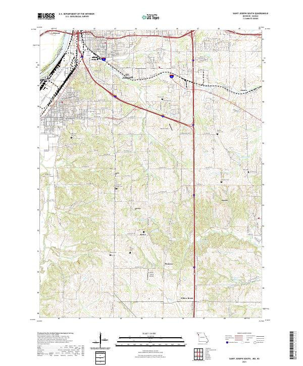
2021 Saint Joseph South
Buchanan County, MO