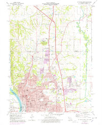
1971 Map of St. Joseph North
USGS Topo · Published 1978About this map
The northern reaches of St Joseph dominate this landscape, showing a period of significant urban expansion across Washington township. This edition includes purple-tinted photorevisions that document the city's outward growth toward Country Club Village and the developing campus of Missouri Western College. The dense network of public institutions is prominent, featuring the sprawling grounds of State Hospital No 2 and a deep concentration of historic burial sites such as Mount Olivet Cem and B'nai Sholem Cem.
Find a feature on this map
81 named features on this map. Tap any name to fly to it.
Don’t see what you’re looking for? This feature index may not catch every label — zoom into the map to look around manually.
Map Details
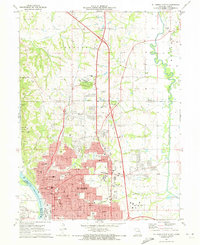
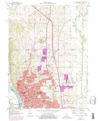
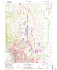
Editions of this 1971 St. Joseph North Map
4 editions found
Other maps of this area

1923 · Clarksdale
USGS Topo · 1:62,500

1924 · St. Joseph
USGS Topo · 1:62,500

1925 · Gower
USGS Topo · 1:62,500

1925 · Clarksdale
USGS Topo · 1:62,500

1926 · Saint Joseph
USGS Topo · 1:62,500

1927 · Dearborn
USGS Topo · 1:62,500

1950 · Kansas City
USGS Topo · 1:250,000

1954 · Kansas City
USGS Topo · 1:250,000

1956 · Kansas City
USGS Topo · 1:250,000

1960 · Kansas City
USGS Topo · 1:250,000