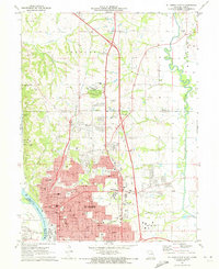
1971 Map of St. Joseph North
USGS Topo · Published 1973About this map
The city of St Joseph serves as the dominant anchor of this 1970s landscape, positioned where the Missouri River bluffs transition into the rolling uplands of Buchanan County. The map details a dense urban and suburban fabric, characterized by an extensive network of educational and religious institutions such as Christian Brothers High Sch, Missouri Western College, and the Immaculate Conception Sch. The presence of several historic burial grounds, including the large Mt Mora Cem and B'nai Sholem Cem, provides valuable data for genealogical research within the city's older quarters.
Find a feature on this map
115 named features on this map. Tap any name to fly to it.
Don’t see what you’re looking for? This feature index may not catch every label — zoom into the map to look around manually.
Map Details
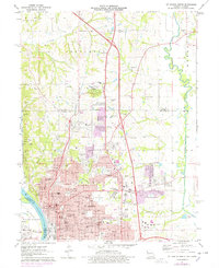
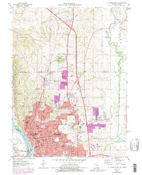
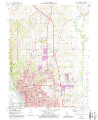
Editions of this 1971 St. Joseph North Map
4 editions found
Other maps of this area

1923 · Clarksdale
USGS Topo · 1:62,500

1924 · St. Joseph
USGS Topo · 1:62,500

1925 · Gower
USGS Topo · 1:62,500

1925 · Clarksdale
USGS Topo · 1:62,500

1926 · Saint Joseph
USGS Topo · 1:62,500

1927 · Dearborn
USGS Topo · 1:62,500

1950 · Kansas City
USGS Topo · 1:250,000

1954 · Kansas City
USGS Topo · 1:250,000

1956 · Kansas City
USGS Topo · 1:250,000

1960 · Kansas City
USGS Topo · 1:250,000