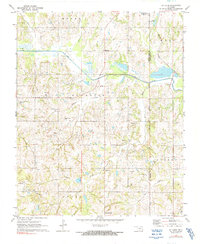
1972 Map of St. Louis
USGS Topo · Published 1991About this map
The extensive oil field infrastructure of southern Pottawatomie County defines this early 1970s landscape, where hundreds of oil wells and a central Refinery are spread across the terrain. The town of St Louis serves as a local hub, situated near the headwaters of Popshego Creek and Salt Creek. To the north, the Atchison Topeka and Santa Fe railroad skirts the edge of Maud, passing near the Katy Reservoir.
Find a feature on this map
29 named features on this map. Tap any name to fly to it.
Don’t see what you’re looking for? This feature index may not catch every label — zoom into the map to look around manually.
Map Details
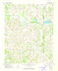
Editions of this 1972 St. Louis Map
2 editions found
Other maps of this area

1896 · Seminole and Prague
USGS Topo · 1:125,000

1901 · Stonewall
USGS Topo · 1:125,000

1907 · Maud
USGS Topo · 1:62,500

1908 · Maud
USGS Topo · 1:62,500

1954 · Oklahoma City
USGS Topo · 1:250,000

1957 · Ardmore
USGS Topo · 1:250,000

1957 · Oklahoma City
USGS Topo · 1:250,000
1958 · Pearson
USGS Topo · 1:24,000

1958 · Vamoosa
USGS Topo · 1:24,000

1958 · Konawa
USGS Topo · 1:24,000