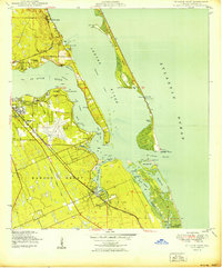
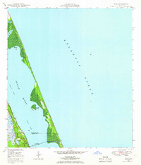
1950 Map of St. Lucie Inlet
USGS Topo · Published 1950About this map
Witham Field and its distinctive runway layout dominate the central landscape of this 1950 coastal survey, reflecting the area's importance during the mid-century aviation era. The map captures a detailed view of the Atlantic coast before modern high-rise development, highlighting the complex waterways of the Indian River and the St Lucie River. Large historical land divisions, including the Hanson Grant and Gomez Grant, underscore the region's colonial and early territorial heritage. Along the western shores, established settlements like Stuart, Jensen Beach, and Port Sewall are linked by the Florida East Coast railroad, while the eastern edge is defined by the narrow ribbon of Hutchinson Island. The confluence of the inland rivers at the St Lucie Inlet provides a snapshot of the navigational and topographical character of the Florida coastline at this period, including specific points like Hell Gate Point and Sewall Point.
Find a feature on this map
50 named features on this map. Tap any name to fly to it.
Don’t see what you’re looking for? This feature index may not catch every label — zoom into the map to look around manually.
Map Details
Editions of this 1950 St. Lucie Inlet Map
This is the sole edition of this map. No revisions or reprints were ever made.
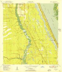
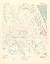
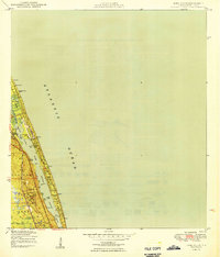
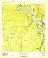
Other maps of this area

1948 · Palm City
USGS Topo · 1:24,000
1948 · Ankona
USGS Topo · 1:24,000

1948 · St. Lucie Inlet
USGS Topo · 1:24,000
1948 · Gomez
USGS Topo · 1:24,000
1948 · Hobe Sound
USGS Topo · 1:24,000
1948 · Eden
USGS Topo · 1:24,000
1949 · Gomez
USGS Topo · 1:24,000
1949 · Hobe Sound
USGS Topo · 1:24,000

1950 · Ankona
USGS Topo · 1:24,000
1950 · Palm City
USGS Topo · 1:24,000