
1919 Map of St Marys
USGS Topo · Published 1919About this map
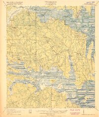
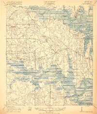
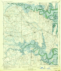
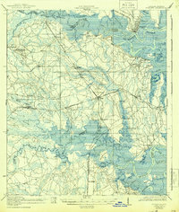
The St Marys River serves as the winding border between Georgia and Florida on this early 20th-century survey, a landscape defined by tidewater creeks and intricate river landings. The Seaboard Air Line railroad cuts a north-south path through the interior, connecting small settlements like Gross, Becker, and Yulee. This era highlights a transition from water-based transport to rail, with historic river points such as Wilds Ferry and White Oak Landing still serving as vital infrastructure for the local economy.
Find a feature on this map
63 named features on this map. Tap any name to fly to it.
Don’t see what you’re looking for? This feature index may not catch every label — zoom into the map to look around manually.
Map Details
Editions of this 1919 St Marys Map
5 editions found
Other maps of this area

1917 · Cambon
USGS Topo · 1:62,500

1917 · Boulogne
USGS Topo · 1:62,500

1917 · Hilliard
USGS Topo · 1:62,500

1918 · St Marys
USGS Topo · 1:62,500

1918 · Cumberland Island
USGS Topo · 1:62,500

1918 · Cambon
USGS Topo · 1:62,500

1918 · Jacksonville
USGS Topo · 1:62,500

1918 · Kingsland
USGS Topo · 1:62,500

1918 · Mayport
USGS Topo · 1:62,500

1919 · Fernandina
USGS Topo · 1:62,500