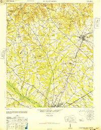
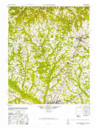
1946 Map of St. Matthews
USGS Topo · Published 1946About this map
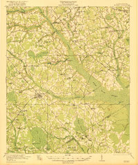
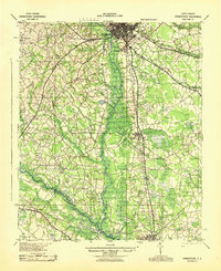
The county seat of St Matthews serves as the primary hub of this South Carolina landscape, where the Southern railroad line intersects with local trade routes. The terrain is marked by a high density of rural institutions, including Bethlehem Church, Gethsemane Ch, and Upper Limestone Sch, reflecting a deeply established agricultural community. Historical thoroughfares like the Old Ninety-Six Road cut across the southern portion of the sheet, providing a link to the state's frontier-era transportation network.
Find a feature on this map
83 named features on this map. Tap any name to fly to it.
Don’t see what you’re looking for? This feature index may not catch every label — zoom into the map to look around manually.
Map Details
Editions of this 1946 St. Matthews Map
2 editions found
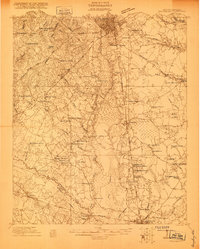
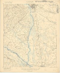
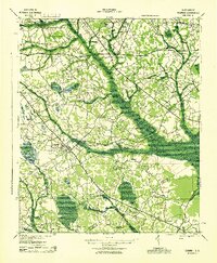
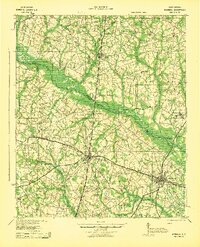
Other maps of this area

1919 · Bamberg
USGS Topo · 1:48,000

1920 · Bowman
USGS Topo · 1:48,000

1920 · Bamberg
USGS Topo · 1:62,500
1920 · Orangeburg
USGS Topo · 1:48,000
1921 · Orangeburg
USGS Topo · 1:62,500
1921 · Bowman
USGS Topo · 1:62,500
1943 · Bowman
USGS Topo · 1:62,500
1943 · Bamberg
USGS Topo · 1:62,500
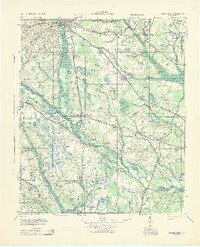
1943 · Orangeburg
USGS Topo · 1:125,000
1943 · Orangeburg
USGS Topo · 1:62,500