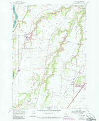
1956 Map of St. Paul
USGS Topo · Published 1985About this map
French Prairie defines the fertile agricultural character of this mid-Willamette Valley region, where the Willamette River meanders past Mission Bar and Ray Bar. The map illustrates a landscape shaped by early Oregon history, anchored by the settlement of St Paul and the nearby Champoeg State Park, the site of the state's provisional government. The transition from traditional river-oriented commerce to modern infrastructure is evident in the alignment of the Burlington Northern railroad and the Baldock Freeway skirting the edge of Woodburn. Local genealogy is well-served by the presence of the Champoeg Cem, Fairfield Cemetery, and the St Louis School. The drainage network, featuring Champoeg Creek and its many branches, underscores the area's long-standing reliance on its natural waterways for drainage and irrigation.
Find a feature on this map
45 named features on this map. Tap any name to fly to it.
Don’t see what you’re looking for? This feature index may not catch every label — zoom into the map to look around manually.
Map Details
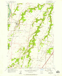
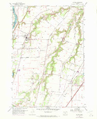
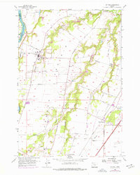
Editions of this 1956 St. Paul Map
4 editions found
Other maps of this area

1916 · Tualatin
USGS Topo · 1:62,500

1923 · Mount Angel
USGS Topo · 1:62,500

1924 · Mc Minnville
USGS Topo · 1:48,000

1926 · Mc Minnville
USGS Topo · 1:62,500

1939 · Tualatin
USGS Topo · 1:62,500

1940 · McMinnville
USGS Topo · 1:62,500

1940 · Tualatin
USGS Topo · 1:62,500

1940 · Mount Angel
USGS Topo · 1:62,500

1941 · Yamhill
USGS Topo · 1:62,500

1942 · Yamhill
USGS Topo · 1:62,500