
1979 Map of St Peter
USGS Topo · Published 1979About this map
St Peter stands as a focal point in this Western Kansas landscape, situated near the western edge of Graham County. This late-1970s survey captures a rural environment defined by the convergence of agricultural land and energy extraction. The extensive Oil Field operations are marked by numerous Oil Wells and a Drill Hole scattered across the township lines of Bryant and Collyer. Genealogists will find particular value in the documentation of the St Anthony Cem and the Leland Ch, which served the local community. The terrain is structured by the winding path of the North Fork Saline River and the main Saline River, where Sandpits indicate local industrial activity. The map provides a precise record of the section-line roads and rural developments prior to modern consolidations.
Find a feature on this map
14 named features on this map. Tap any name to fly to it.
Don’t see what you’re looking for? This feature index may not catch every label — zoom into the map to look around manually.
Map Details
Editions of this 1979 St Peter Map
This is the sole edition of this map. No revisions or reprints were ever made.
Other maps of this area

1893 · Hill
USGS Topo · 1:125,000

1954 · Goodland
USGS Topo · 1:250,000

1955 · Beloit
USGS Topo · 1:250,000

1956 · Goodland
USGS Topo · 1:250,000

1957 · Goodland
USGS Topo · 1:250,000

1959 · Beloit
USGS Topo · 1:250,000
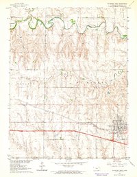
1963 · Wa Keeney West
USGS Topo · 1:24,000

1979 · Morland
USGS Topo · 1:24,000

1979 · Penokee
USGS Topo · 1:24,000
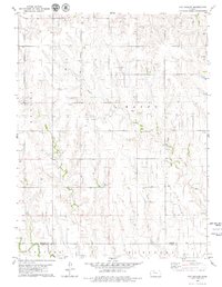
1979 · Hay Hollow
USGS Topo · 1:24,000