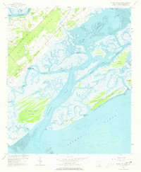
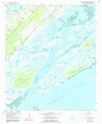
1956 Map of St. Phillips Island
USGS Topo · Published 1973About this map
St Helena Island and its intricate network of tidal waterways dominate this mid-century coastal survey. The landscape is defined by the shifting boundaries of Trenchards Inlet, Skull Inlet, and Station Creek, which weave between major landmasses like St Phillips Island and Pritchards Island. The settlement patterns at Orange Grove and Longwood reflect the area's agricultural and maritime character, connected by early routes such as Seaside Road and Lands End Road.
Find a feature on this map
39 named features on this map. Tap any name to fly to it.
Don’t see what you’re looking for? This feature index may not catch every label — zoom into the map to look around manually.
Map Details
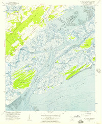
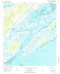
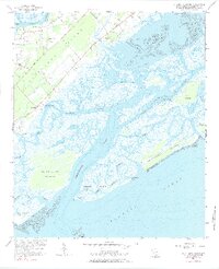
Editions of this 1956 St. Phillips Island Map
5 editions found
Other maps of this area

1920 · St. Helena Sound
USGS Topo · 1:62,500

1920 · Hilton Head
USGS Topo · 1:62,500

1944 · Fort Fremont
USGS Topo · 1:62,500

1945 · Hilton Head
USGS Topo · 1:62,500

1947 · Savannah
USGS Topo · 1:250,000

1948 · St. Helena Sound
USGS Topo · 1:62,500

1948 · Savannah
USGS Topo · 1:250,000

1956 · Frogmore
USGS Topo · 1:24,000
1956 · Hilton Head
USGS Topo · 1:24,000
1956 · Parris Island
USGS Topo · 1:24,000