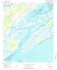
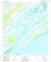
1956 Map of St. Phillips Island
USGS Topo · Published 1984About this map
The coastal marshes and barrier islands of Beaufort County are captured in this mid-century survey, revealing a landscape defined by tidal inlets and maritime settlement. Centered on the complex hydrography of Station Creek and Trenchards Inlet, the map details a world where land and water are inextricably linked. On St Helena Island, family history is preserved through numerous small burial grounds including Pritchard Cem, Perry Cem, and Frogmore Cem. The presence of Orange Grove Ch and the Beaufort County Landing suggests a community oriented toward both faith and the water. The intricate network of waterways like Story Creek and Skull Inlet surrounding St Phillips Island highlights the navigational challenges and natural isolation of the South Carolina Lowcountry before modern development transformed many of its neighboring islands.
Find a feature on this map
37 named features on this map. Tap any name to fly to it.
Don’t see what you’re looking for? This feature index may not catch every label — zoom into the map to look around manually.
Map Details
Editions of this 1956 St. Phillips Island Map
5 editions found
Other maps of this area

1920 · St. Helena Sound
USGS Topo · 1:62,500

1920 · Hilton Head
USGS Topo · 1:62,500

1944 · Fort Fremont
USGS Topo · 1:62,500

1945 · Hilton Head
USGS Topo · 1:62,500

1947 · Savannah
USGS Topo · 1:250,000

1948 · St. Helena Sound
USGS Topo · 1:62,500

1948 · Savannah
USGS Topo · 1:250,000

1956 · Frogmore
USGS Topo · 1:24,000
1956 · Hilton Head
USGS Topo · 1:24,000
1956 · Parris Island
USGS Topo · 1:24,000