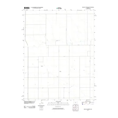
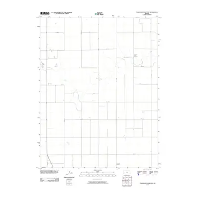
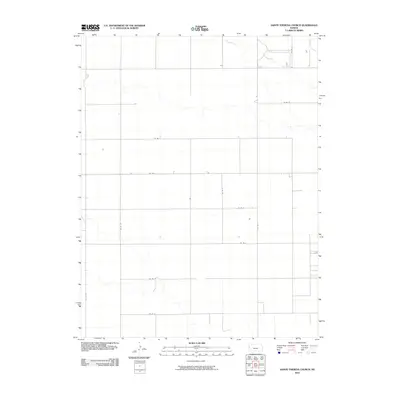
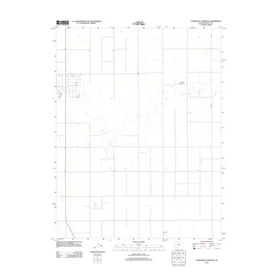
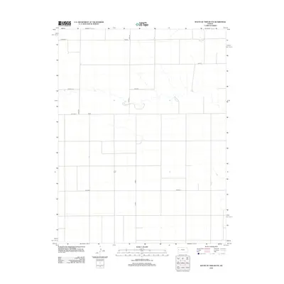
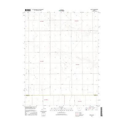
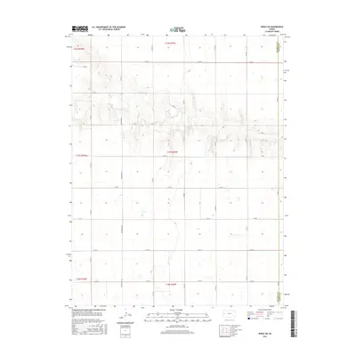
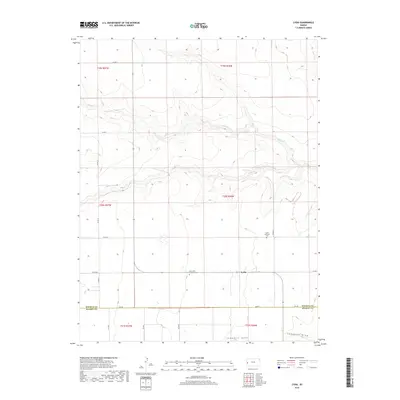
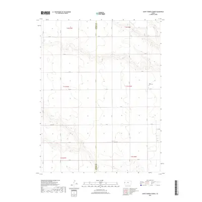
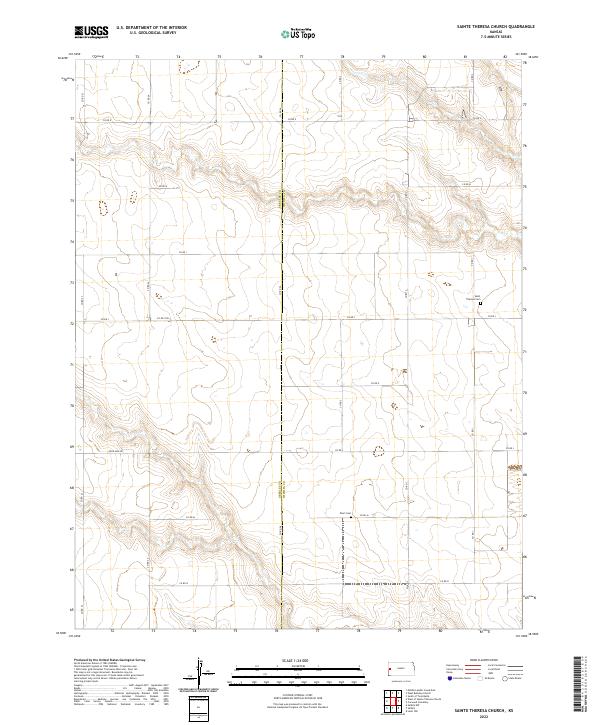
1970 Map of St. Theresa Church
USGS Topo · Published 1993About this map
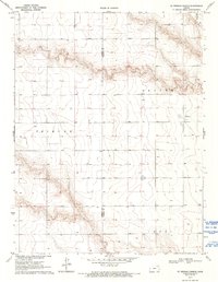
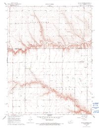
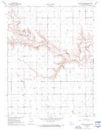
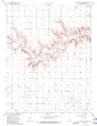
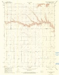
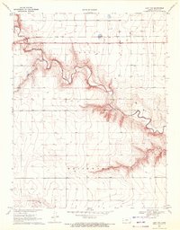
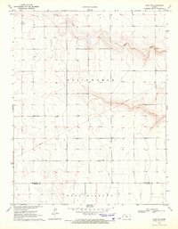
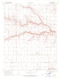
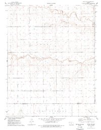
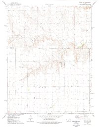
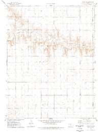
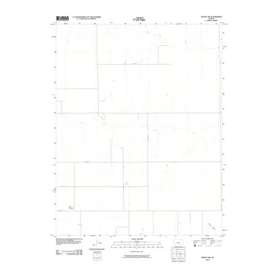
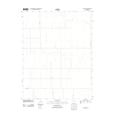
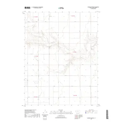
The high plains of western Kansas are defined by the convergence of the Tribune and Leoti townships along the border of Greeley and Wichita counties. This 1970 survey captures a vast agricultural landscape punctuated by the drainage of Ladder Cr in the northeast and the seasonal flow of Beaver Creek. The presence of St Theresa Ch and a nearby Cem suggests a localized community hub within the broader township grids, serving the dispersed farming families of the region. Numerous irrigation or livestock Wells are scattered across the terrain, reflecting the critical importance of groundwater management in this semi-arid portion of the Kansas plains. The map illustrates the geometric precision of the township and range system, where section lines dictate the movement across the prairie.
Find a feature on this map
8 named features on this map. Tap any name to fly to it.
Don’t see what you’re looking for? This feature index may not catch every label — zoom into the map to look around manually.
Map Details
Editions of this 1970 St. Theresa Church Map
2 editions found

Historical Maps of Leoti Township Through Time
66 maps found
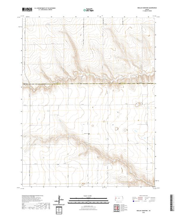
1968 Beulah Cemetery
Wichita County, KS
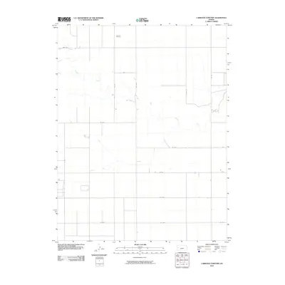
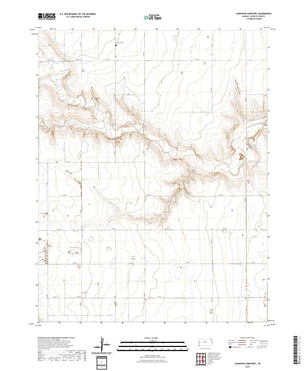
1968 Carwood Cemetery
Wichita County, KS
1968 Coronado Cemetery
Wichita County, KS
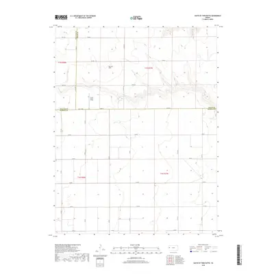
1968 South of Twin Butte
Wichita County, KS
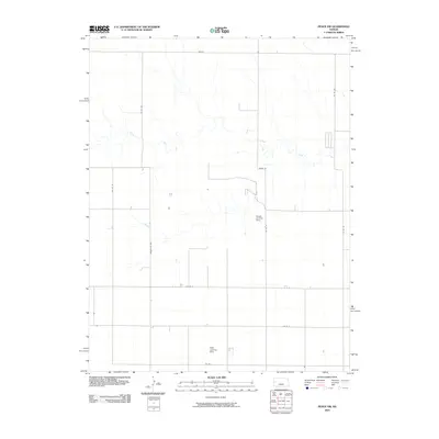
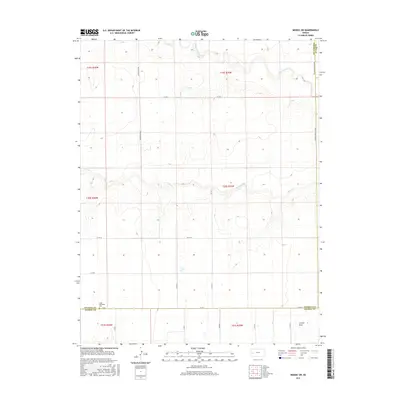
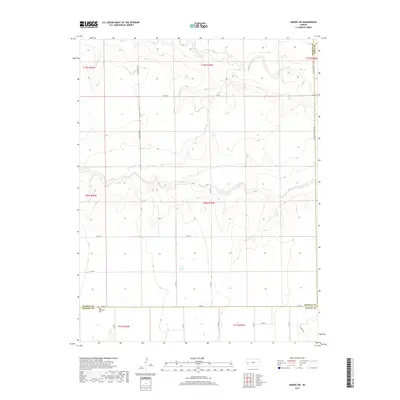
1970 Leoti NW
Wichita County, KS
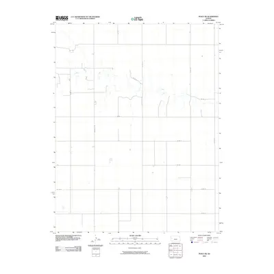
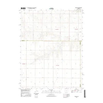
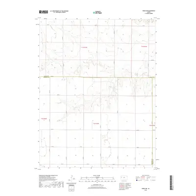
1970 Leoti SW
Wichita County, KS
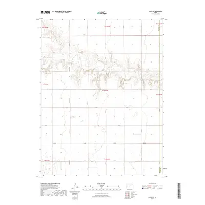
1970 Lydia
Wichita County, KS
1970 St. Theresa Church
Wichita County, KS
1976 Modoc SW
Wichita County, KS
1976 Pence NW
Wichita County, KS
1976 Pence SW
Wichita County, KS
2009 Modoc SW
Wichita County, KS
2009 Pence NW
Wichita County, KS
2009 Pence SW
Wichita County, KS
2010 Beulah Cemetery
Wichita County, KS
2010 Carwood Cemetery
Wichita County, KS
2010 Coronado Cemetery
Wichita County, KS
2010 Leoti NW
Wichita County, KS
2010 Leoti SW
Wichita County, KS
2010 Lydia
Wichita County, KS
2010 Sainte Theresa Church
Wichita County, KS
2010 South of Twin Butte
Wichita County, KS
2012 Beulah Cemetery
Wichita County, KS
2012 Carwood Cemetery
Wichita County, KS
2012 Coronado Cemetery
Wichita County, KS
2012 Leoti NW
Wichita County, KS
2012 Leoti SW
Wichita County, KS
2012 Lydia
Wichita County, KS
2012 Modoc SW
Wichita County, KS
2012 Pence NW
Wichita County, KS
2012 Pence SW
Wichita County, KS
2012 Sainte Theresa Church
Wichita County, KS
2012 South of Twin Butte
Wichita County, KS
2015 Beulah Cemetery
Wichita County, KS
2015 Carwood Cemetery
Wichita County, KS

2015 Coronado Cemetery
Wichita County, KS
2015 Leoti NW
Wichita County, KS
2015 Leoti SW
Wichita County, KS
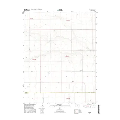
2015 Lydia
Wichita County, KS
2015 Modoc SW
Wichita County, KS
2015 Pence NW
Wichita County, KS
2015 Pence SW
Wichita County, KS
2015 Sainte Theresa Church
Wichita County, KS
2016 South of Twin Butte
Wichita County, KS
2018 Beulah Cemetery
Wichita County, KS
2018 Carwood Cemetery
Wichita County, KS
2018 Coronado Cemetery
Wichita County, KS
2018 Leoti NW
Wichita County, KS
2018 Leoti SW
Wichita County, KS
2018 Lydia
Wichita County, KS
2018 Modoc SW
Wichita County, KS
2018 Pence NW
Wichita County, KS
2018 Pence SW
Wichita County, KS
2018 Sainte Theresa Church
Wichita County, KS
2018 South of Twin Butte
Wichita County, KS
2022 Beulah Cemetery
Wichita County, KS
2022 Carwood Cemetery
Wichita County, KS
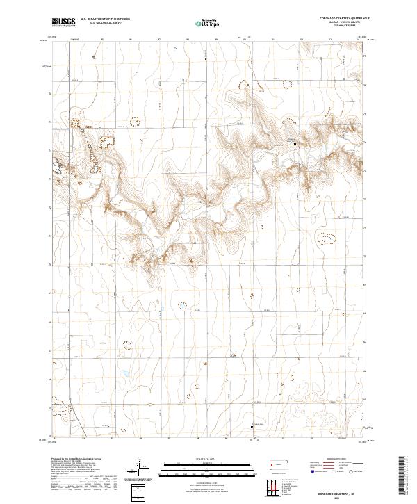
2022 Coronado Cemetery
Wichita County, KS
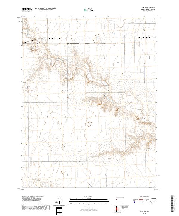
2022 Leoti NW
Wichita County, KS
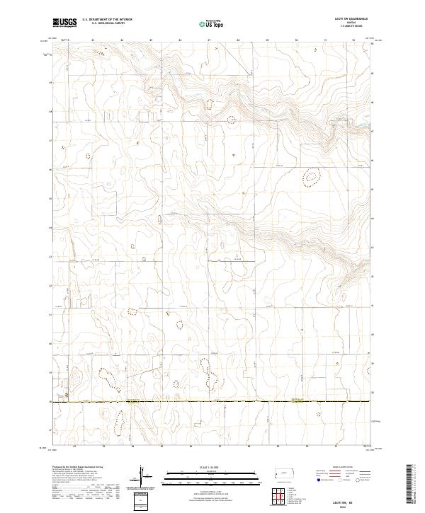
2022 Leoti SW
Wichita County, KS
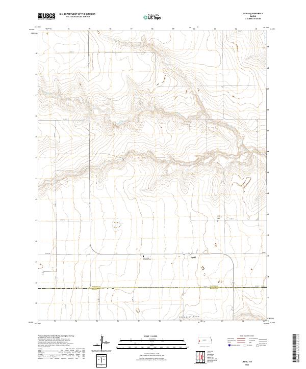
2022 Lydia
Wichita County, KS
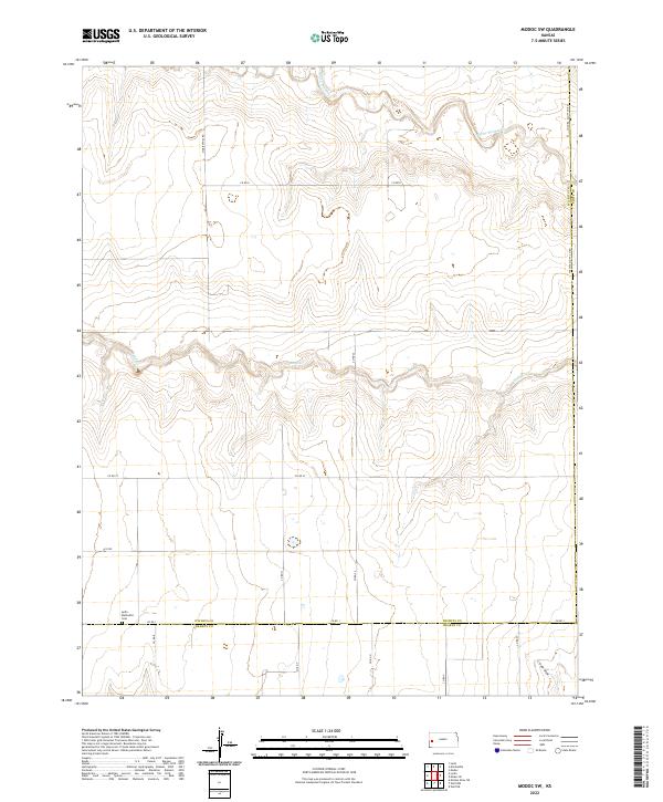
2022 Modoc SW
Wichita County, KS
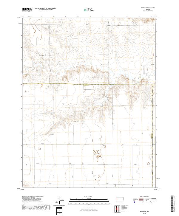
2022 Pence NW
Wichita County, KS
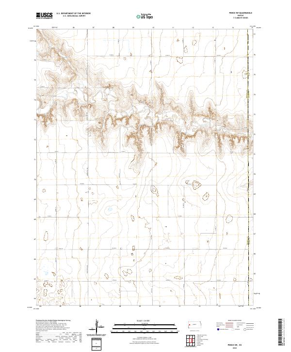
2022 Pence SW
Wichita County, KS
2022 Sainte Theresa Church
Wichita County, KS
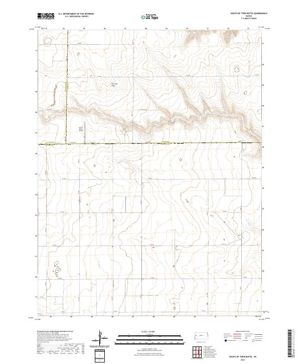
2022 South of Twin Butte
Wichita County, KS