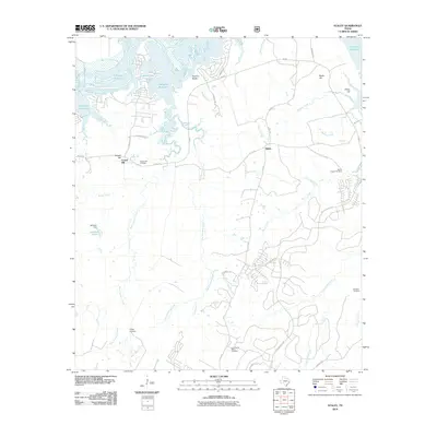
2010 Map of Staley
USGS Topo · Published 2010About this map
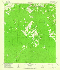
Gospel Hill and the crossroads of Staley anchor this landscape along the eastern banks of the Trinity River. This area of Walker County is defined by its transition from the river's lowlands to elevated points like Rocky Hill and Camp Hill. The map documents the eastern reaches of the Livingston Reservoir, where the water meets the prominent Sulphur Bluffs.
Find a feature on this map
49 named features on this map. Tap any name to fly to it.
Don’t see what you’re looking for? This feature index may not catch every label — zoom into the map to look around manually.
Map Details
Editions of this 2010 Staley Map
This is the sole edition of this map. No revisions or reprints were ever made.
Other maps of this area

1954 · Beaumont
USGS Topo · 1:250,000

1957 · Beaumont
USGS Topo · 1:250,000
1960 · Trinity West
USGS Topo · 1:24,000
1960 · Trinity East
USGS Topo · 1:24,000
1960 · Carlisle
USGS Topo · 1:24,000
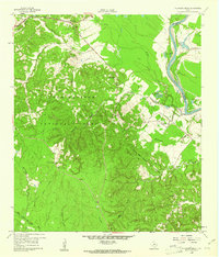
1960 · Stephen Creek
USGS Topo · 1:24,000
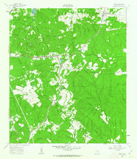
1960 · Phelps
USGS Topo · 1:24,000
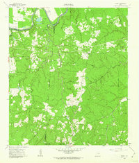
1961 · Staley
USGS Topo · 1:24,000
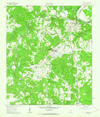
1961 · Riverside
USGS Topo · 1:24,000
1961 · Oakhurst
USGS Topo · 1:24,000