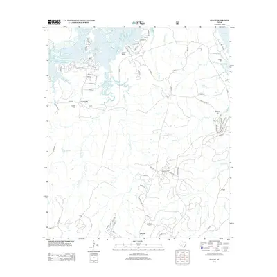
2013 Map of Staley
USGS Topo · Published 2013About this map
Sulphur Bluffs and Staley anchor this portion of Walker County, where the expansive waters of Livingston Reservoir define the northern landscape. The map details a transition from the lakeside residential developments like Golden Oaks and Newport Lndg to the traditional rural infrastructure of the interior. A network of creeks, including Shoemake Cr, Browns Cr, and the bifurcated W Carolina Cr and E Carolina Cr, dissect the terrain as it rises toward Rocky Hill and Gospel Hill.
Find a feature on this map
89 named features on this map. Tap any name to fly to it.
Don’t see what you’re looking for? This feature index may not catch every label — zoom into the map to look around manually.
Map Details
Editions of this 2013 Staley Map
This is the sole edition of this map. No revisions or reprints were ever made.
Other maps of this area

1954 · Beaumont
USGS Topo · 1:250,000

1957 · Beaumont
USGS Topo · 1:250,000

1960 · Trinity West
USGS Topo · 1:24,000

1960 · Trinity East
USGS Topo · 1:24,000

1960 · Carlisle
USGS Topo · 1:24,000

1960 · Stephen Creek
USGS Topo · 1:24,000

1960 · Phelps
USGS Topo · 1:24,000

1961 · Staley
USGS Topo · 1:24,000

1961 · Riverside
USGS Topo · 1:24,000

1961 · Oakhurst
USGS Topo · 1:24,000