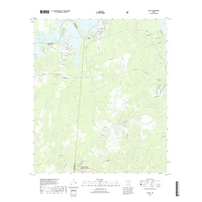
2019 Map of Staley
USGS Topo · Published 2019About this map
Lake Livingston dominates the northern edge of this landscape, its waters reaching into the deep inlets of Black Lake and the area near Sulphur Bluffs. The terrain south of the reservoir is defined by the heavy timber of the Sam Houston National Forest, where small creek branches like Deans Cr and W Carolina Cr carve through the East Texas woods. This 2019 survey documents a mix of rural isolation and expanding residential pockets along the shoreline, particularly near Queenswood and the winding roads of the Waterwood development.
Find a feature on this map
74 named features on this map. Tap any name to fly to it.
Don’t see what you’re looking for? This feature index may not catch every label — zoom into the map to look around manually.
Map Details
Editions of this 2019 Staley Map
This is the sole edition of this map. No revisions or reprints were ever made.
Other maps of this area

1954 · Beaumont
USGS Topo · 1:250,000

1957 · Beaumont
USGS Topo · 1:250,000

1960 · Trinity West
USGS Topo · 1:24,000

1960 · Trinity East
USGS Topo · 1:24,000

1960 · Carlisle
USGS Topo · 1:24,000

1960 · Stephen Creek
USGS Topo · 1:24,000

1960 · Phelps
USGS Topo · 1:24,000

1961 · Staley
USGS Topo · 1:24,000

1961 · Riverside
USGS Topo · 1:24,000

1961 · Oakhurst
USGS Topo · 1:24,000