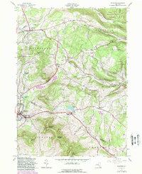
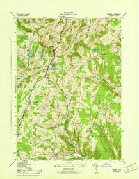
1945 Map of Stamford
USGS Topo · Published 1988About this map
High peaks and deep hollows define this Catskills-edge terrain, where Utsayantha Mountain looms over the village of Stamford. The landscape is a mix of agricultural valley settlements and high forest lands, including portions of Burnt Rossman Hills State Forest and Blenheim Hill State Forest. Small rural hamlets such as South Jefferson and Welch Corners are connected by winding valley roads that trace the paths of Middle Brook and the West Kill.
Find a feature on this map
56 named features on this map. Tap any name to fly to it.
Don’t see what you’re looking for? This feature index may not catch every label — zoom into the map to look around manually.
Map Details
Editions of this 1945 Stamford Map
4 editions found
Other maps of this area

1898 · Schoharie
USGS Topo · 1:62,500

1900 · Schoharie
USGS Topo · 1:62,500

1901 · Gilboa
USGS Topo · 1:62,500

1903 · Gilboa
USGS Topo · 1:62,500

1904 · Richmondville
USGS Topo · 1:62,500

1904 · Hobart
USGS Topo · 1:62,500

1943 · Breakabeen
USGS Topo · 1:24,000

1943 · Charlotteville
USGS Topo · 1:24,000

1943 · Summit
USGS Topo · 1:24,000
1945 · Summit
USGS Topo · 1:31,680