
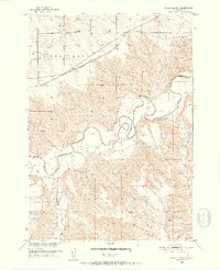
1951 Map of Stamford SW
USGS Topo · Published 1952About this map
The winding White River carves a deep valley through this West River landscape, defining the boundaries between Jackson, Mellette, and Washabaugh counties. The northern half of the sheet is dominated by the Belvidere plateau, where the Chicago Milwaukee St Paul and Pacific railroad cuts a straight path across the plains near Bull Creek. This transportation corridor contrasts sharply with the dissected terrain of Rocky Ford to the south.
Find a feature on this map
16 named features on this map. Tap any name to fly to it.
Don’t see what you’re looking for? This feature index may not catch every label — zoom into the map to look around manually.
Map Details
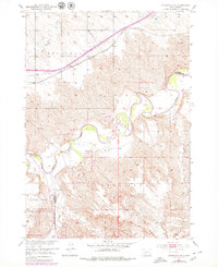
Editions of this 1951 Stamford SW Map
3 editions found
Other maps of this area

1951 · Belvidere
USGS Topo · 1:24,000

1951 · Stamford SE
USGS Topo · 1:24,000

1951 · Cedar Butte NW
USGS Topo · 1:24,000

1951 · Cedar Butte NE
USGS Topo · 1:24,000

1951 · Pass Creek NE
USGS Topo · 1:24,000

1953 · Belvidere NE
USGS Topo · 1:24,000

1955 · Martin
USGS Topo · 1:250,000

1958 · Martin
USGS Topo · 1:250,000

1972 · Stamford NW
USGS Topo · 1:24,000
1972 · Stamford
USGS Topo · 1:24,000