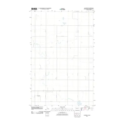
2011 Map of Stampede
USGS Topo · Published 2011About this map
Stampede and the surrounding Burke County plains are defined by a strict section-line grid of rural roads and the wandering path of the East Branch Short Creek. This 2011 survey illustrates the sparsely settled nature of this North Dakota-Saskatchewan borderland, where major thoroughfares like County Rd-2 and secondary routes such as 108th St Nw facilitate travel across the wide agricultural landscape. The creek provides the primary topographic variation in the area, cutting a serpentine path through the northern and southern portions of the quadrangle. For researchers, the map clarifies the precise location of local landmarks and the proximity of the rail line to the Stampede settlement, reflecting the persistent layout of this northern prairie region.
Find a feature on this map
15 named features on this map. Tap any name to fly to it.
Don’t see what you’re looking for? This feature index may not catch every label — zoom into the map to look around manually.
Map Details
Editions of this 2011 Stampede Map
This is the sole edition of this map. No revisions or reprints were ever made.
Other maps of this area

1947 · Columbus
USGS Topo · 1:24,000

1948 · Beaver Lake
USGS Topo · 1:24,000

1948 · Stampede
USGS Topo · 1:24,000

1949 · Rennie Lake
USGS Topo · 1:24,000

1949 · Portal
USGS Topo · 1:24,000

1949 · Columbus
USGS Topo · 1:24,000

1949 · Columbus SE
USGS Topo · 1:24,000

1950 · Columbus
USGS Topo · 1:62,500

1950 · Portal
USGS Topo · 1:62,500

1953 · Williston
USGS Topo · 1:250,000